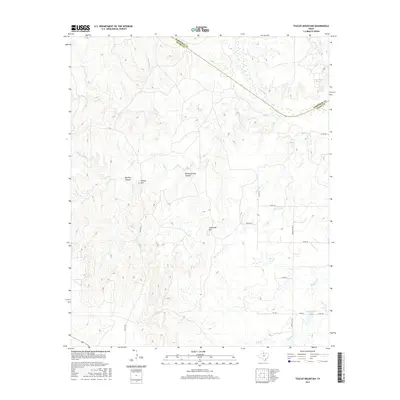
2016 Map of Teacup Mountain
USGS Topo · Published 2016About this map
Teacup Mtn and Sugarloaf Mtn stand as prominent landmarks in this section of North Texas, where the terrain breaks toward the Pease River. The landscape is defined by its drainage patterns, with Canal Cr and Half Circle Cr carving through the area south of the Hardeman and Foard county line. Geologists and local historians will note the presence of Sloans Springs Canyon and Bowley Canyon, which suggest the intricate erosion characteristic of this region. Human intervention is visible through several impoundments and water features, including Walter Stapp Lake, McCoy Lake, and the City Crowell Lake located in the southeastern quadrant. The survey also identifies the Lake Copper Breaks area, highlighting how local water management has shaped the modern topography of these high plains.
Find a feature on this map
27 named features on this map. Tap any name to fly to it.
Don’t see what you’re looking for? This feature index may not catch every label — zoom into the map to look around manually.
Map Details
Editions of this 2016 Teacup Mountain Map
This is the sole edition of this map. No revisions or reprints were ever made.
Other maps of this area
1927 · Quanah 3-a
USGS Topo · 1:48,000
1927 · Quanah 3-b
USGS Topo · 1:48,000
1932 · Vivian
USGS Topo · 1:62,500
1954 · Wichita Falls
USGS Topo · 1:250,000
1955 · Lawton
USGS Topo · 1:250,000
1958 · Wichita Falls
USGS Topo · 1:250,000
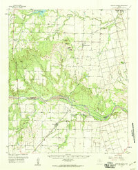
1958 · Medicine Mound
USGS Topo · 1:62,500
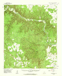
1960 · Teacup Mountain
USGS Topo · 1:62,500
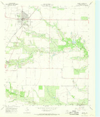
1966 · Crowell
USGS Topo · 1:24,000
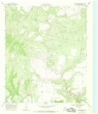
1968 · Boiling Spring
USGS Topo · 1:24,000