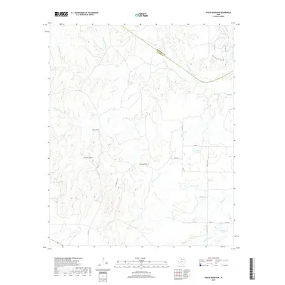
2019 Map of Teacup Mountain
USGS Topo · Published 2019About this map
Teacup Mtn and Sugarloaf Mtn dominate the topography of this corner of the Texas rolling plains, where the Pease River cuts across the northern boundary between Hardeman and Foard counties. The landscape is defined by its drainage systems, including the deeply etched Bowley Canyon and Sloans Springs Canyon, which feed into local creeks like Raggedy Cr and Mud Cr. This 2019 survey shows the modern rural road network, with routes like Teacup Rd and Ranch Rd 1039 connecting scattered water features such as Walter Stapp Lake and City Crowell Lake. Recreational trails such as Bull Canyon Trail-Long Loop and Chris' Link in the northeast suggest the transition from working ranchland to managed outdoor space.
Find a feature on this map
30 named features on this map. Tap any name to fly to it.
Don’t see what you’re looking for? This feature index may not catch every label — zoom into the map to look around manually.
Map Details
Editions of this 2019 Teacup Mountain Map
This is the sole edition of this map. No revisions or reprints were ever made.
Other maps of this area
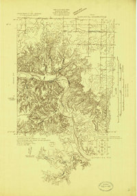
1927 · Quanah 3-a
USGS Topo · 1:48,000
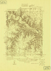
1927 · Quanah 3-b
USGS Topo · 1:48,000
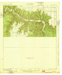
1932 · Vivian
USGS Topo · 1:62,500
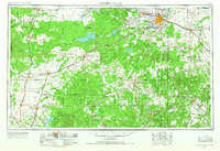
1954 · Wichita Falls
USGS Topo · 1:250,000
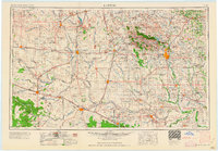
1955 · Lawton
USGS Topo · 1:250,000
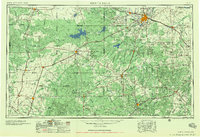
1958 · Wichita Falls
USGS Topo · 1:250,000
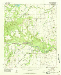
1958 · Medicine Mound
USGS Topo · 1:62,500
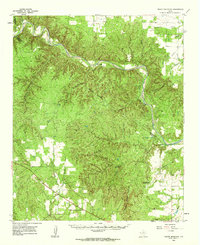
1960 · Teacup Mountain
USGS Topo · 1:62,500
1966 · Crowell
USGS Topo · 1:24,000
1968 · Boiling Spring
USGS Topo · 1:24,000