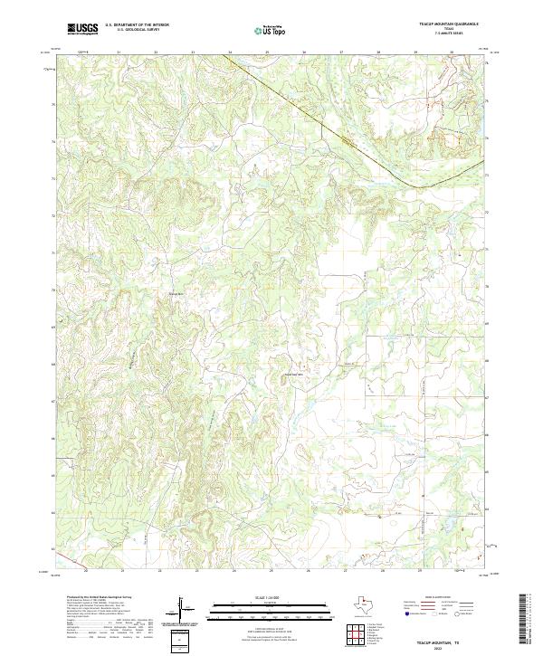
2022 Map of Teacup Mountain
USGS Topo · Published 2022About this map
Teacup Mtn and Sugarloaf Mtn rise above the drainage systems of North Texas, where the Pease River forms a natural boundary between Hardeman and Foard Counties. The landscape is defined by deep incisions like Bowley Canyon and Sloans Springs Canyon, which feed into complex creek networks including Mud Cr and Raggedy Cr. In the southern portion of the quadrangle, water management is evident through Walter Stapp Lake and City Crowell Lake. A modern trail network in the northeast, including the Bull Canyon Trail-Long Loop Trl and the aptly named Dark Sky Trl, suggests the area's contemporary use for recreation and stargazing away from light pollution. The map reveals a transition from the rugged canyonlands to the more accessible terrain surrounding Ranch Rd 1039.
Find a feature on this map
29 named features on this map. Tap any name to fly to it.
Don’t see what you’re looking for? This feature index may not catch every label — zoom into the map to look around manually.
Map Details
Editions of this 2022 Teacup Mountain Map
This is the sole edition of this map. No revisions or reprints were ever made.
Other maps of this area

1927 · Quanah 3-a
USGS Topo · 1:48,000

1927 · Quanah 3-b
USGS Topo · 1:48,000

1932 · Vivian
USGS Topo · 1:62,500

1954 · Wichita Falls
USGS Topo · 1:250,000

1955 · Lawton
USGS Topo · 1:250,000

1958 · Wichita Falls
USGS Topo · 1:250,000

1958 · Medicine Mound
USGS Topo · 1:62,500

1960 · Teacup Mountain
USGS Topo · 1:62,500

1966 · Crowell
USGS Topo · 1:24,000
1968 · Boiling Spring
USGS Topo · 1:24,000