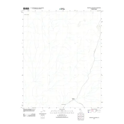
2012 Map of Teakettle Junction
USGS Topo · Published 2012About this map
Teakettle Junction serves as the focal point of this arid desert expanse, marking the significant meeting of high-desert thoroughfares. Located at the southeastern edge of Racetrack Valley, this junction is the critical gateway for those navigating between the Last Chance Range and the surrounding basin. The road network, consisting of Racetrack Valley Rd and Hunter Mountain Rd, dictates the flow of travel through this unpopulated terrain. The map emphasizes the isolation and specific geography of Inyo County, showing a landscape defined by seasonal drainages and steep alluvial fans. This 2012 survey illustrates the vital importance of small, named intersections in providing orientation within a desert environment where few permanent structures exist.
Find a feature on this map
5 named features on this map. Tap any name to fly to it.
Don’t see what you’re looking for? This feature index may not catch every label — zoom into the map to look around manually.
Map Details
Editions of this 2012 Teakettle Junction Map
This is the sole edition of this map. No revisions or reprints were ever made.
Other maps of this area

1908 · Ballarat
USGS Topo · 1:250,000

1913 · Ballarat
USGS Topo · 1:250,000

1948 · Death Valley
USGS Topo · 1:250,000
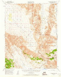
1950 · Ubehebe Peak
USGS Topo · 1:62,500
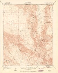
1951 · Ubehebe Peak
USGS Topo · 1:62,500
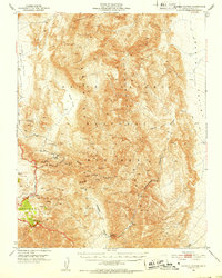
1951 · Marble Canyon
USGS Topo · 1:62,500

1954 · Death Valley
USGS Topo · 1:250,000

1956 · Death Valley
USGS Topo · 1:250,000
1957 · Death Valley
USGS Topo · 1:250,000
1957 · Tin Mountain
USGS Topo · 1:62,500