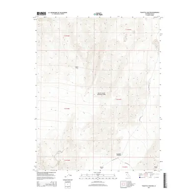
2015 Map of Teakettle Junction
USGS Topo · Published 2015About this map
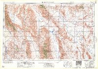
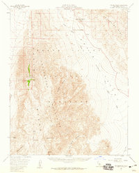
Teakettle Junction stands as a distinct landmark within the high desert landscape of Death Valley National Park, marking a critical crossroads where the desert floor meets the rising elevations of the Panamint Range. This 2015 survey details the arid transition from the Mojave Desert into the isolated Racetrack Valley, a region defined more by its geological features and remote access than by human settlement. The map highlights the rugged topography and the primitive road network that connects these desolate basins, specifically following Racetrack Valley Rd as it winds through the valley. The convergence of Hidden Valley Rd at the junction provides a clear record of the backcountry navigation routes utilized by researchers and explorers within this protected wilderness area.
Find a feature on this map
13 named features on this map. Tap any name to fly to it.
Don’t see what you’re looking for? This feature index may not catch every label — zoom into the map to look around manually.
Map Details
Editions of this 2015 Teakettle Junction Map
This is the sole edition of this map. No revisions or reprints were ever made.
Other maps of this area

1908 · Ballarat
USGS Topo · 1:250,000

1913 · Ballarat
USGS Topo · 1:250,000

1948 · Death Valley
USGS Topo · 1:250,000
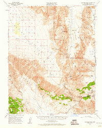
1950 · Ubehebe Peak
USGS Topo · 1:62,500
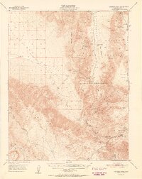
1951 · Ubehebe Peak
USGS Topo · 1:62,500
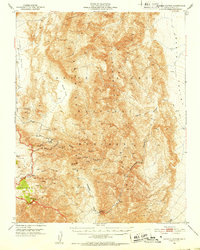
1951 · Marble Canyon
USGS Topo · 1:62,500

1954 · Death Valley
USGS Topo · 1:250,000

1956 · Death Valley
USGS Topo · 1:250,000
1957 · Death Valley
USGS Topo · 1:250,000
1957 · Tin Mountain
USGS Topo · 1:62,500