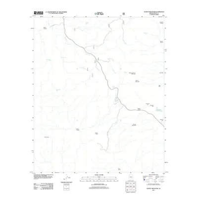
2011 Map of Teapot Mountain
USGS Topo · Published 2011About this map
Teapot Mountain and Sleeping Beauty Mountain dominate this central Arizona landscape, where the rugged topography of Pinal County is defined by steep canyons and sparse water sources. The drainages of Arnett Creek and Devils Canyon carve through the terrain, supported by a network of isolated water points such as Walnut Spring, Crucifixion Tank, and Wood Canyon Spring. This area reflects a specialized industrial and ranching footprint, evidenced by the large West Pit mining feature and numerous livestock tanks like Lime Tank and Black Hills Tank scattered across the high ground. The roadway network is limited, with Battle Axe Rd and Route 177 providing the primary access through the corridor between Copper Butte and the rising slopes of Granite Mountain. For those studying the land use of the copper-rich region, the map illustrates the clear intersection of natural geological formations and heavy industrial extraction.
Find a feature on this map
33 named features on this map. Tap any name to fly to it.
Don’t see what you’re looking for? This feature index may not catch every label — zoom into the map to look around manually.
Map Details
Editions of this 2011 Teapot Mountain Map
This is the sole edition of this map. No revisions or reprints were ever made.
Other maps of this area
1900 · Florence
USGS Topo · 1:125,000
1901 · Globe
USGS Topo · 1:62,500
1902 · Globe
USGS Topo · 1:62,500
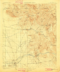
1902 · Florence
USGS Topo · 1:125,000
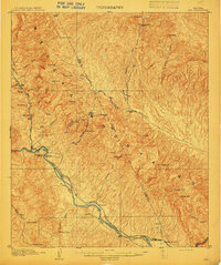
1910 · Ray
USGS Topo · 1:62,500
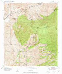
1948 · Pinal Ranch
USGS Topo · 1:24,000
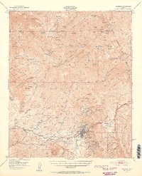
1948 · Superior
USGS Topo · 1:62,500
1948 · Superior
USGS Topo · 1:24,000
1948 · Picketpost Mtn
USGS Topo · 1:24,000
1949 · Pinal Ranch
USGS Topo · 1:24,000