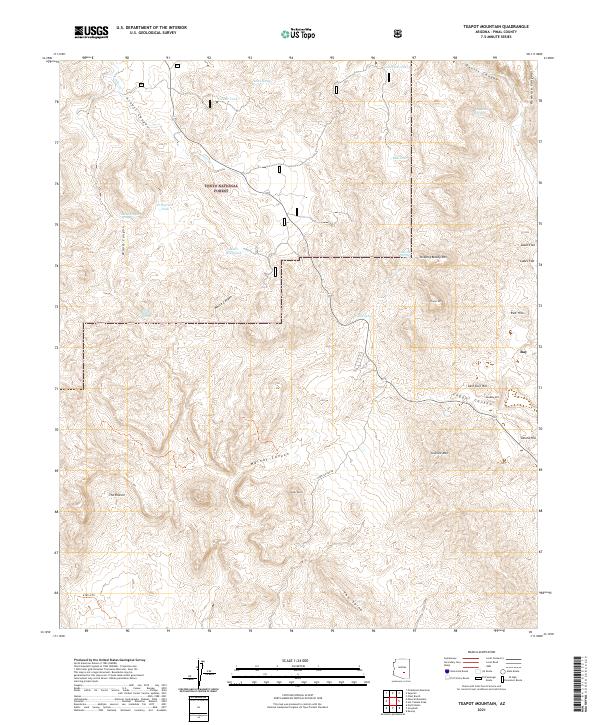
2021 Map of Teapot Mountain
USGS Topo · Published 2021About this map
Teapot Mtn stands as a prominent landmark in this desert landscape of Pinal County, where the southern boundary of the Tonto National Forest meets the industrial topography surrounding the mining community of Ray. The map reveals a complex network of canyons and water-management features essential for life and industry in the arid terrain, including Crucifixion Tank, White Canyon, and Walnut Canyon. Significant elevation changes are marked by named peaks such as Sleeping Beauty Mtn and Granite Mtn, alongside distinctive formations like The Spine and The Rincon. The eastern edge of the map highlights the proximity of local landmarks like Sonora Hill and Sandow Hill to the community and its copper-rich geology. Local transit and access are defined by N Battle Axe Rd and the 6180-U Trail, illustrating the intersection of recreation, ranching, and resource extraction in the early 21st century.
Find a feature on this map
39 named features on this map. Tap any name to fly to it.
Don’t see what you’re looking for? This feature index may not catch every label — zoom into the map to look around manually.
Map Details
Editions of this 2021 Teapot Mountain Map
This is the sole edition of this map. No revisions or reprints were ever made.
Other maps of this area

1900 · Florence
USGS Topo · 1:125,000

1901 · Globe
USGS Topo · 1:62,500

1902 · Globe
USGS Topo · 1:62,500

1902 · Florence
USGS Topo · 1:125,000

1910 · Ray
USGS Topo · 1:62,500

1948 · Pinal Ranch
USGS Topo · 1:24,000

1948 · Superior
USGS Topo · 1:62,500

1948 · Superior
USGS Topo · 1:24,000

1948 · Picketpost Mtn
USGS Topo · 1:24,000

1949 · Pinal Ranch
USGS Topo · 1:24,000