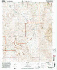
2004 Map of Teapot Mountain
USGS Topo · Published 2007About this map
Industrial mineral extraction meets high desert conservation along the boundary of the Tonto National Forest. The eastern portion of the landscape is dominated by the massive Ray Open Pit Mine, featuring extensive Tailings Ponds and the Ray Mine Lookout. This mining activity contrasts sharply with the protected lands of the White Canyon Wilderness to the south and west.
Find a feature on this map
47 named features on this map. Tap any name to fly to it.
Don’t see what you’re looking for? This feature index may not catch every label — zoom into the map to look around manually.
Map Details
Editions of this 2004 Teapot Mountain Map
This is the sole edition of this map. No revisions or reprints were ever made.
Other maps of this area

1900 · Florence
USGS Topo · 1:125,000

1901 · Globe
USGS Topo · 1:62,500

1902 · Globe
USGS Topo · 1:62,500

1902 · Florence
USGS Topo · 1:125,000

1910 · Ray
USGS Topo · 1:62,500

1948 · Pinal Ranch
USGS Topo · 1:24,000

1948 · Superior
USGS Topo · 1:62,500

1948 · Superior
USGS Topo · 1:24,000

1948 · Picketpost Mtn
USGS Topo · 1:24,000

1949 · Pinal Ranch
USGS Topo · 1:24,000