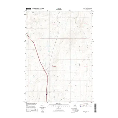
2015 Map of Teapot Rock
USGS Topo · Published 2015About this map
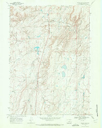
Teapot Rock stands as a distinctive landmark in this portion of Natrona County, where the high desert terrain is defined by a network of seasonal drainages and intermittent water sources. The landscape is primarily shaped by the headwaters of Teapot Cr and its eastern branch, E Teapot Cr, alongside the drainages of Horse Ranch Cr and E Fork Horse Ranch Cr. Modern infrastructure is represented by the north-south corridor of the Frontage Rd, which provides access through these vast grazing lands. Ranching heritage is evident at the John Beaton Reservoir, a critical water management feature for the region's livestock economy. The topography rises significantly toward the south at Twentymile Hill, while the northwestern corner is marked by the rugged incision of Stove Gulch, illustrating the transition from open flats to more varied high-plains relief.
Find a feature on this map
14 named features on this map. Tap any name to fly to it.
Don’t see what you’re looking for? This feature index may not catch every label — zoom into the map to look around manually.
Map Details
Editions of this 2015 Teapot Rock Map
This is the sole edition of this map. No revisions or reprints were ever made.
Other maps of this area

1955 · Arminto
USGS Topo · 1:250,000

1958 · Arminto
USGS Topo · 1:250,000
1959 · Edgerton
USGS Topo · 1:62,500
1959 · Ormsby Draw
USGS Topo · 1:62,500
1962 · Arminto
USGS Topo · 1:250,000
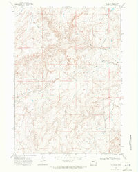
1968 · Big Gulch
USGS Topo · 1:24,000
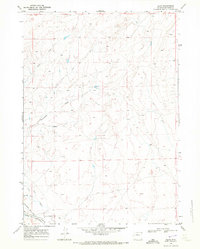
1968 · Illco
USGS Topo · 1:24,000
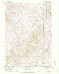
1968 · Salt Creek
USGS Topo · 1:24,000
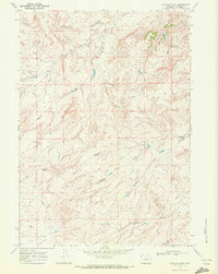
1968 · Statzer Point
USGS Topo · 1:24,000
1968 · Teapot Rock
USGS Topo · 1:24,000