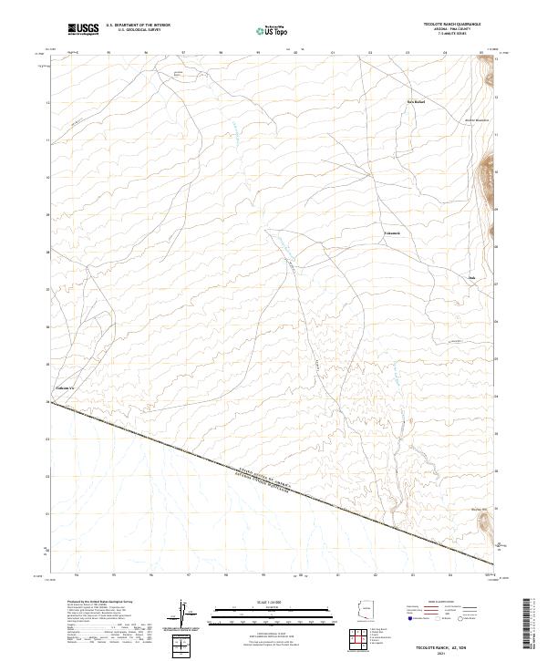
2021 Map of Tecolote Ranch
USGS Topo · Published 2021About this map
Tecolote Ranch and the small settlements of San Rafael and Vakamok anchor this high-desert landscape in Pima County, positioned along the international boundary between the United States of America and Mexico. The terrain is defined by the ephemeral drainage of Chukut Kuk Wash, which cuts across a series of township and range lines including t20s r3e. This 2021 study illustrates the modern road network serving these rural outposts, including W Indian Rte 2 and Ind Ser Rt 12, which connect the scattered communities across the desert floor. To the east, the rising slopes of the Alvarez Mountains and the solitary Wolfley Hill provide significant topographic relief against the broad basins that characterize this border region.
Find a feature on this map
20 named features on this map. Tap any name to fly to it.
Don’t see what you’re looking for? This feature index may not catch every label — zoom into the map to look around manually.
Map Details
Editions of this 2021 Tecolote Ranch Map
This is the sole edition of this map. No revisions or reprints were ever made.
Other maps of this area

1941 · Vamori
USGS Topo · 1:62,500

1941 · Sells
USGS Topo · 1:62,500

1943 · Sells
USGS Topo · 1:62,500

1943 · Fresnal
USGS Topo · 1:125,000

1943 · Vamori
USGS Topo · 1:62,500

1954 · Sonoyta
USGS Topo · 1:250,000

1956 · Nogales
USGS Topo · 1:250,000

1958 · Nogales
USGS Topo · 1:250,000

1959 · Nogales
USGS Topo · 1:250,000

1963 · Gu Oidak
USGS Topo · 1:62,500
Featured Places
- Itak, Chukut Kuk District
- San Rafael, Chukut Kuk District
- Vakamok, Chukut Kuk District
- Tatkum Vo, Chukut Kuk District