
1950 Map of Tecopa
USGS Topo · Published 1958About this map
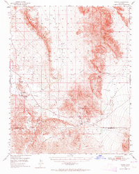
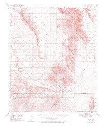
Tecopa sits at the heart of this desert landscape, where the Amargosa River flows past Grimshaw Lake and the geothermal waters of Tecopa Hot Springs. The terrain is defined by the parallel ridges of the Resting Spring Range and the Nopah Range, separated by the broad expanse of Chicago Valley. This mid-century survey reveals an economy deeply rooted in mineral extraction, with numerous sites such as the Gunsight Mine, Noonday Mine, and Western Talc Mine scattered throughout the hills. Transportation history is etched into the earth here, showing the route of the Old Spanish Trail crossing through Emigrant Pass, while a Dismantled Railroad follows the river corridor, marking the end of an earlier industrial era. Further south, Mine Camp serves as a secondary settlement near Tecopa Pass, illustrating the localized clusters of activity that once supported these remote operations.
Find a feature on this map
26 named features on this map. Tap any name to fly to it.
Don’t see what you’re looking for? This feature index may not catch every label — zoom into the map to look around manually.
Map Details
Editions of this 1950 Tecopa Map
3 editions found
Other maps of this area

1907 · Las Vegas
USGS Topo · 1:250,000

1908 · Furnace Creek
USGS Topo · 1:250,000

1908 · Las Vegas
USGS Topo · 1:250,000

1910 · Furnace Creek
USGS Topo · 1:250,000

1910 · Ivanpah
USGS Topo · 1:250,000

1912 · Ivanpah
USGS Topo · 1:250,000

1933 · Avawatz Mountains
USGS Topo · 1:250,000

1940 · Eagle Tank
USGS Topo · 1:62,500

1942 · Ivanpah
USGS Topo · 1:250,000

1947 · Trona
USGS Topo · 1:250,000