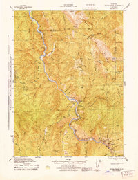
1945 Map of Tectah Creek
USGS Topo · Published 1945About this map
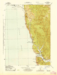
The Klamath River carves a deep path through northwestern California, serving as the central artery for small riverside settlements and seasonal prairies. This 1945 survey identifies isolated outposts such as Johnsons and the McCOVEY RANCH, reflecting a landscape where transport and community followed the water's edge. Higher elevations are marked by a series of named openings in the timber, including Stevens Prairie, Bukers Prairie, and Hancorn Prairie, which likely served as important landmarks for local navigation and grazing.
Find a feature on this map
55 named features on this map. Tap any name to fly to it.
Don’t see what you’re looking for? This feature index may not catch every label — zoom into the map to look around manually.
Map Details
Editions of this 1945 Tectah Creek Map
This is the sole edition of this map. No revisions or reprints were ever made.
Other maps of this area
1922 · Preston Peak
USGS Topo · 1:125,000
1925 · Hoopa
USGS Topo · 1:125,000
1929 · Crescent City
USGS Topo · 1:125,000
1945 · Ship Mountain
USGS Topo · 1:62,500
1945 · Orick
USGS Topo · 1:62,500
1945 · Trinidad
USGS Topo · 1:62,500
1945 · Coyote Peak
USGS Topo · 1:62,500
1945 · Requa
USGS Topo · 1:62,500

1948 · Weed
USGS Topo · 1:250,000
1949 · Eureka
USGS Topo · 1:250,000