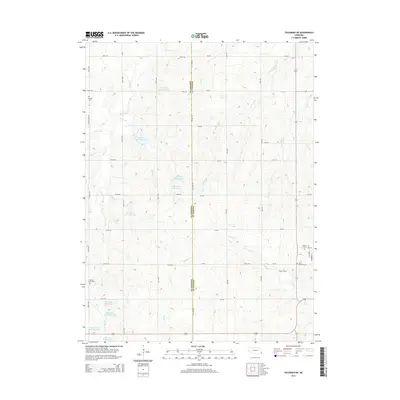
2014 Map of Tecumseh NE
USGS Topo · Published 2014About this map
Muddy Creek and the varied branches of Spring Creek define this agricultural landscape along the border of Johnson and Nemaha counties. The map documents a sophisticated water management system through numerous reservoirs, including Spring Creek Reservoir 4-1 and Spring Creek Reservoir 9-A, which support the surrounding farms. Local genealogy and land history are anchored by several established burial grounds, such as Mt Hope Cemetery near the western edge and Saint Mathews Cemetery to the southeast.
Find a feature on this map
48 named features on this map. Tap any name to fly to it.
Don’t see what you’re looking for? This feature index may not catch every label — zoom into the map to look around manually.
Map Details
Editions of this 2014 Tecumseh NE Map
This is the sole edition of this map. No revisions or reprints were ever made.
Other maps of this area

1903 · Weeping Water
USGS Topo · 1:125,000

1907 · Nebraska City
USGS Topo · 1:62,500

1915 · Howe
USGS Topo · 1:62,500

1929 · Weeping Water
USGS Topo · 1:125,000

1955 · Nebraska City
USGS Topo · 1:250,000

1955 · Lincoln
USGS Topo · 1:250,000

1957 · Nebraska City
USGS Topo · 1:250,000

1957 · Lincoln
USGS Topo · 1:250,000

1958 · Lincoln
USGS Topo · 1:250,000

1958 · Nebraska City
USGS Topo · 1:250,000