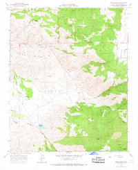
1966 Map of Tejon Ranch
USGS Topo · Published 1967About this map
Tejon Hills and the high plateaus of El Tejon dominate this mid-century landscape in the southern Tehachapi Mountains. The map details the operations of the expansive Tejon Ranch, a historic land grant area where cattle trails and modern infrastructure meet. Water management is a primary theme of the terrain, evident in the network of reservoirs like Tejon Res No 2, numerous named springs such as Havala Spring, and a prominent Aqueduct cutting through the eastern canyons. Cultural markers from earlier eras remain, including the Indian Sch and a Cemetery near the banks of Tejon Creek. The rugged northern sections around Horsethief Mtn and Horsethief Flat show a transition from steep ridges to the edge of Cummings Valley, accessible by a network of jeep trails and the unpaved Banducci Rd.
Find a feature on this map
38 named features on this map. Tap any name to fly to it.
Don’t see what you’re looking for? This feature index may not catch every label — zoom into the map to look around manually.
Map Details
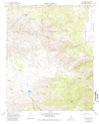
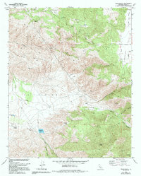
Editions of this 1966 Tejon Ranch Map
3 editions found
Other maps of this area

1903 · Tejon
USGS Topo · 1:125,000

1914 · Caliente
USGS Topo · 1:125,000

1930 · Bear Mountain
USGS Topo · 1:31,680

1930 · Arvin
USGS Topo · 1:31,680

1931 · Tejon Hills
USGS Topo · 1:31,680

1933 · Arvin
USGS Topo · 1:31,680

1933 · Tejon Hills
USGS Topo · 1:31,680

1933 · Bear Mountain
USGS Topo · 1:31,680

1943 · Cummings Mountain
USGS Topo · 1:62,500

1943 · Neenach
USGS Topo · 1:62,500