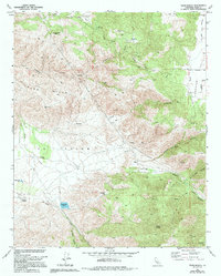
1966 Map of Tejon Ranch
USGS Topo · Published 1994About this map
Tejon Ranch serves as the focal point of this 1960s landscape, positioned at the base of the Tejon Hills where the terrain begins its ascent into the southern Sierra Nevada range. The distribution of water infrastructure, including Tejon Res No 1, Tejon Res No 2, and a modern Aqueduct, highlights the vital importance of water management in this arid stretch of Kern County. Educational and social history is rooted in the presence of the Indian Sch and a small Cem located along Tejon Creek.
Find a feature on this map
35 named features on this map. Tap any name to fly to it.
Don’t see what you’re looking for? This feature index may not catch every label — zoom into the map to look around manually.
Map Details
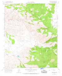
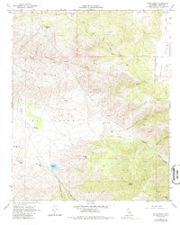
Editions of this 1966 Tejon Ranch Map
3 editions found
Other maps of this area

1903 · Tejon
USGS Topo · 1:125,000

1914 · Caliente
USGS Topo · 1:125,000

1930 · Bear Mountain
USGS Topo · 1:31,680

1930 · Arvin
USGS Topo · 1:31,680

1931 · Tejon Hills
USGS Topo · 1:31,680

1933 · Arvin
USGS Topo · 1:31,680

1933 · Tejon Hills
USGS Topo · 1:31,680

1933 · Bear Mountain
USGS Topo · 1:31,680

1943 · Cummings Mountain
USGS Topo · 1:62,500

1943 · Neenach
USGS Topo · 1:62,500