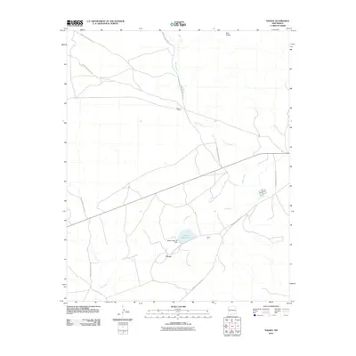
2010 Map of Tekapo
USGS Topo · Published 2010About this map
Tekapo and Bosson Ranch serve as primary points of interest in this high-desert landscape of western New Mexico. The area's water management and infrastructure are central to its character, evidenced by the Zuñi River winding through the terrain and the presence of the Tekapo Reservoir, held by the Tekapo Reservoir Dam. Industrial activity is noted at the Kiewit Pit, while the horizon is defined by the Zuni Buttes to the north. A complex network of Indian Service Routes, including Indian Service Route 3 and Indian Service Route 40, crisscrosses the quadrangle, illustrating the importance of these thoroughfares for connecting dispersed ranching and tribal lands. Bosson Wash cuts a significant path across the northern half of the map, marking the drainage patterns that have shaped this arid region.
Find a feature on this map
16 named features on this map. Tap any name to fly to it.
Don’t see what you’re looking for? This feature index may not catch every label — zoom into the map to look around manually.
Map Details
Editions of this 2010 Tekapo Map
This is the sole edition of this map. No revisions or reprints were ever made.
Other maps of this area

1886 · St Johns
USGS Topo · 1:250,000

1886 · Wingate
USGS Topo · 1:250,000

1886 · Fort Defiance
USGS Topo · 1:250,000

1892 · Fort Defiance
USGS Topo · 1:250,000

1892 · St Johns
USGS Topo · 1:250,000

1892 · Wingate
USGS Topo · 1:250,000

1954 · Saint Johns
USGS Topo · 1:250,000

1954 · Gallup
USGS Topo · 1:250,000

1957 · Saint Johns
USGS Topo · 1:250,000

1958 · Gallup
USGS Topo · 1:250,000