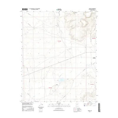
2017 Map of Tekapo
USGS Topo · Published 2017About this map
Tekapo anchors this portion of McKinley County, situated at a transition between the drainage of Bosson Wash and the Zuñi River. The landscape is defined by the significant rise of the Zuñi Buttes to the northeast, which overlook a network of designated Bureau of Indian Affairs routes such as Indian Svc Rte 3 and Indian Svc Rte 11. The presence of the Zuni Pueblo boundary indicates the cultural and administrative importance of this high desert terrain.
Find a feature on this map
20 named features on this map. Tap any name to fly to it.
Don’t see what you’re looking for? This feature index may not catch every label — zoom into the map to look around manually.
Map Details
Editions of this 2017 Tekapo Map
This is the sole edition of this map. No revisions or reprints were ever made.
Other maps of this area
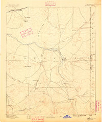
1886 · St Johns
USGS Topo · 1:250,000
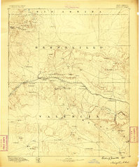
1886 · Wingate
USGS Topo · 1:250,000
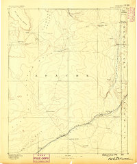
1886 · Fort Defiance
USGS Topo · 1:250,000
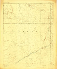
1892 · Fort Defiance
USGS Topo · 1:250,000
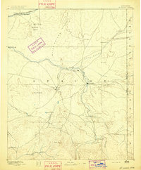
1892 · St Johns
USGS Topo · 1:250,000
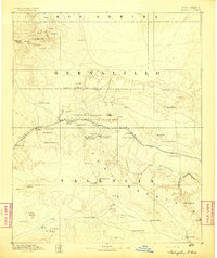
1892 · Wingate
USGS Topo · 1:250,000

1954 · Saint Johns
USGS Topo · 1:250,000

1954 · Gallup
USGS Topo · 1:250,000

1957 · Saint Johns
USGS Topo · 1:250,000

1958 · Gallup
USGS Topo · 1:250,000