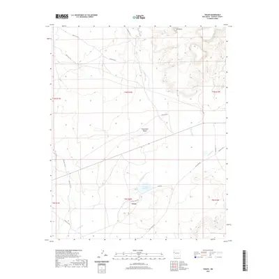
2020 Map of Tekapo
USGS Topo · Published 2020About this map
Tekapo occupies a central position in this high-desert landscape of McKinley County, where the seasonal flow of the Zuni River and Bosson Wash dictates the layout of the land. The settlement is linked to the surrounding region by an extensive network of Indian Service routes, including Indian Svc Rte 20 and Indian Svc Rte 3. A prominent modern landmark, the Andrew Othole Memorial Airport, is situated north of the main community, providing a vital connection point in this remote area. The presence of the Tekapo Reservoir and the looming Zuni Buttes to the north highlight the intersection of essential water management and distinctive geological features. This 2020 survey illustrates how local infrastructure, such as Tekapo Rd and Ojo Caliente Rd, serves both the local population and the broader geographic reaches of the Zuni reservation territory.
Find a feature on this map
23 named features on this map. Tap any name to fly to it.
Don’t see what you’re looking for? This feature index may not catch every label — zoom into the map to look around manually.
Map Details
Editions of this 2020 Tekapo Map
This is the sole edition of this map. No revisions or reprints were ever made.
Other maps of this area
1886 · St Johns
USGS Topo · 1:250,000
1886 · Wingate
USGS Topo · 1:250,000
1886 · Fort Defiance
USGS Topo · 1:250,000
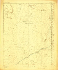
1892 · Fort Defiance
USGS Topo · 1:250,000
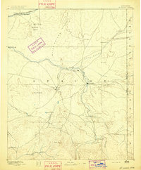
1892 · St Johns
USGS Topo · 1:250,000
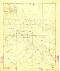
1892 · Wingate
USGS Topo · 1:250,000

1954 · Saint Johns
USGS Topo · 1:250,000

1954 · Gallup
USGS Topo · 1:250,000

1957 · Saint Johns
USGS Topo · 1:250,000

1958 · Gallup
USGS Topo · 1:250,000