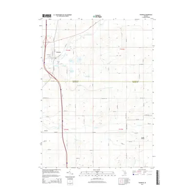
2014 Map of Tekonsha
USGS Topo · Published 2014About this map
The Saint Joseph River winds through the village of Tekonsha, marking a landscape defined by the transition between Calhoun Co and Branch Co. This 2014 survey captures a rural network of agricultural land and small crossroads settlements, including Girard and South Butler. The hydrologic pattern is significant, with the Saint Joseph River joined by Tekonsha Cr and Tamarack Cr, while the southern portion of the map is drained by the forks of Hog Creek, specifically S Br Hog Cr and N Br Hog Cr.
Find a feature on this map
68 named features on this map. Tap any name to fly to it.
Don’t see what you’re looking for? This feature index may not catch every label — zoom into the map to look around manually.
Map Details
Editions of this 2014 Tekonsha Map
This is the sole edition of this map. No revisions or reprints were ever made.
Other maps of this area

1918 · Union City
USGS Topo · 1:62,500

1947 · Union City
USGS Topo · 1:62,500

1948 · Homer
USGS Topo · 1:62,500

1949 · Homer
USGS Topo · 1:62,500

1950 · Union City
USGS Topo · 1:62,500

1953 · Fort Wayne
USGS Topo · 1:250,000

1956 · Fort Wayne
USGS Topo · 1:250,000

1958 · Grand Rapids
USGS Topo · 1:250,000

1960 · Coldwater West
USGS Topo · 1:24,000

1960 · Coldwater East
USGS Topo · 1:24,000