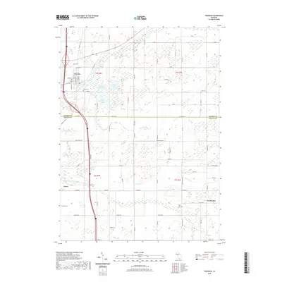
2019 Map of Tekonsha
USGS Topo · Published 2019About this map
The Saint Joseph River winds through the village of Tekonsha, illustrating the foundational relationship between Michigan's inland waterways and early settlement patterns. This area of Calhoun and Branch counties is defined by a dense network of glacial water features, including the interconnected West Shed Lake, East Shed Lake, and South Shed Lake. The landscape transition from the village center toward the rural southern townships is marked by numerous family and community landmarks, such as Riverside Cem and Clarks Cem, which provide essential points of reference for genealogists. To the south, the agricultural character of the region is evident near the settlements of Girard and South Butler, where the drainage of the South Branch Hog Creek and its tributaries like S Br Hog Cr shaped the local farmsteads and road networks, many of which follow the established section lines of the Public Land Survey System.
Find a feature on this map
78 named features on this map. Tap any name to fly to it.
Don’t see what you’re looking for? This feature index may not catch every label — zoom into the map to look around manually.
Map Details
Editions of this 2019 Tekonsha Map
This is the sole edition of this map. No revisions or reprints were ever made.
Other maps of this area

1918 · Union City
USGS Topo · 1:62,500

1947 · Union City
USGS Topo · 1:62,500

1948 · Homer
USGS Topo · 1:62,500

1949 · Homer
USGS Topo · 1:62,500

1950 · Union City
USGS Topo · 1:62,500

1953 · Fort Wayne
USGS Topo · 1:250,000

1956 · Fort Wayne
USGS Topo · 1:250,000

1958 · Grand Rapids
USGS Topo · 1:250,000

1960 · Coldwater West
USGS Topo · 1:24,000

1960 · Coldwater East
USGS Topo · 1:24,000