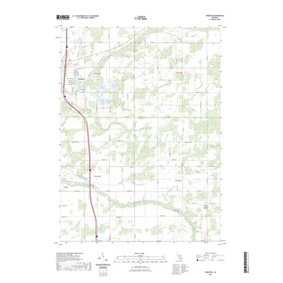
2023 Map of Tekonsha
USGS Topo · Published 2023About this map
The Saint Joseph River and its accompanying wetlands dominate the northern landscape of this region where Calhoun and Branch Counties meet. The village of Tekonsha serves as the primary hub, situated near the river and West Shed Lake. The town's layout is clearly defined by historical thoroughfares like Railroad St, N Main St, and W Randall St, with Riverside Cem located along the southern edge of the settlement near V-Drive S.
Find a feature on this map
79 named features on this map. Tap any name to fly to it.
Don’t see what you’re looking for? This feature index may not catch every label — zoom into the map to look around manually.
Map Details
Editions of this 2023 Tekonsha Map
This is the sole edition of this map. No revisions or reprints were ever made.
Other maps of this area

1918 · Union City
USGS Topo · 1:62,500

1947 · Union City
USGS Topo · 1:62,500

1948 · Homer
USGS Topo · 1:62,500

1949 · Homer
USGS Topo · 1:62,500

1950 · Union City
USGS Topo · 1:62,500

1953 · Fort Wayne
USGS Topo · 1:250,000

1956 · Fort Wayne
USGS Topo · 1:250,000

1958 · Grand Rapids
USGS Topo · 1:250,000

1960 · Coldwater West
USGS Topo · 1:24,000

1960 · Coldwater East
USGS Topo · 1:24,000