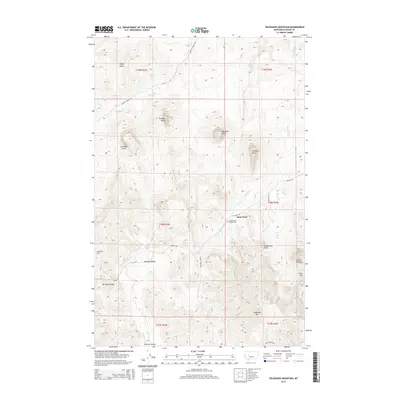
2014 Map of Telegraph Mountain
USGS Topo · Published 2014About this map
Saint Peter and its surrounding high-plains terrain define this region of Cascade County during the early 21st century. The landscape is characterized by a series of prominent, named volcanic or erosion-resistant formations including Lionhead Butte, Birdtail Butte, and Haystack Butte, which rise sharply above the Sullivan Valley floor. This map offers essential detail for genealogists and local historians interested in the religious and social foundations of the area, notably marking the Saint Peters Mission Cem near the junction of Mission Rd and Kologi Rd. The drainage network is intricately mapped, showing how Mission Creek, Sullivan Creek, and Trout Creek carve through the high country toward the Birdtail Divide. This 2014 survey documents the enduring pastoral and rugged character of a place where the namesake Telegraph Mtn remains a primary landmark.
Find a feature on this map
32 named features on this map. Tap any name to fly to it.
Don’t see what you’re looking for? This feature index may not catch every label — zoom into the map to look around manually.
Map Details
Editions of this 2014 Telegraph Mountain Map
This is the sole edition of this map. No revisions or reprints were ever made.
Other maps of this area
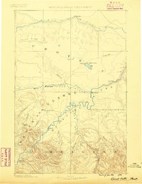
1886 · Great Falls
USGS Topo · 1:250,000
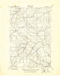
1943 · Hogan
USGS Topo · 1:125,000

1954 · Great Falls
USGS Topo · 1:250,000

1955 · Choteau
USGS Topo · 1:250,000

1957 · Choteau
USGS Topo · 1:250,000
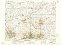
1957 · Great Falls
USGS Topo · 1:250,000
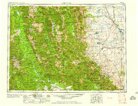
1958 · Choteau
USGS Topo · 1:250,000
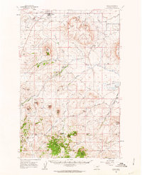
1960 · Simms
USGS Topo · 1:62,500
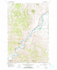
1961 · Hardy
USGS Topo · 1:24,000
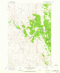
1961 · Coburn Mountain
USGS Topo · 1:24,000