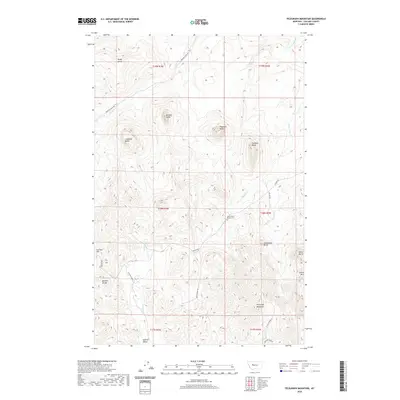
2020 Map of Telegraph Mountain
USGS Topo · Published 2020About this map
Saint Peters Mission Cem sits at the center of this Cascade County landscape, a marker of early settlement history in the region. The terrain is defined by a series of distinct volcanic-looking formations, including Lionhead Butte, Haystack Butte, and Saddleback Butte, which rise sharply from the surrounding drainage basins. These heights dictate the course of local waterways like Mission Cr and Saint Johns Cr, creating a network of valleys used for early transit routes. To the south, the elevation climbs toward Telegraph Mountain and China Mtn, overlooking Sullivan Valley. The mapping of private and forest service roads like Mission RD and Birdtail Creek Rd shows the modern infrastructure following the natural passes and gaps, such as the Birdtail Divide, that have historically channeled movement through this part of Montana.
Find a feature on this map
33 named features on this map. Tap any name to fly to it.
Don’t see what you’re looking for? This feature index may not catch every label — zoom into the map to look around manually.
Map Details
Editions of this 2020 Telegraph Mountain Map
This is the sole edition of this map. No revisions or reprints were ever made.
Other maps of this area
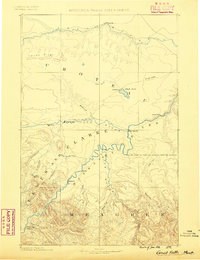
1886 · Great Falls
USGS Topo · 1:250,000
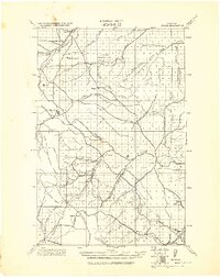
1943 · Hogan
USGS Topo · 1:125,000
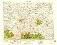
1954 · Great Falls
USGS Topo · 1:250,000
1955 · Choteau
USGS Topo · 1:250,000
1957 · Choteau
USGS Topo · 1:250,000
1957 · Great Falls
USGS Topo · 1:250,000
1958 · Choteau
USGS Topo · 1:250,000
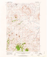
1960 · Simms
USGS Topo · 1:62,500
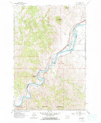
1961 · Hardy
USGS Topo · 1:24,000
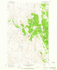
1961 · Coburn Mountain
USGS Topo · 1:24,000