
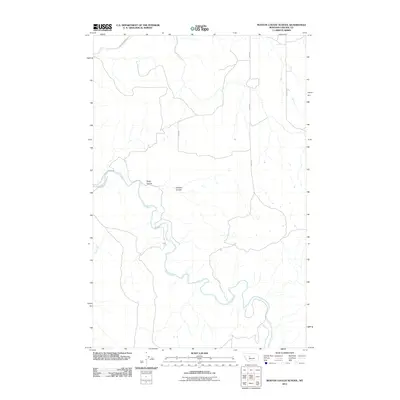
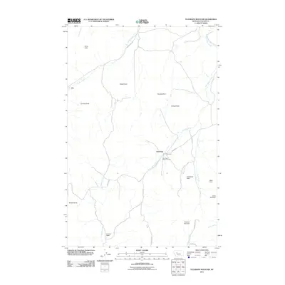
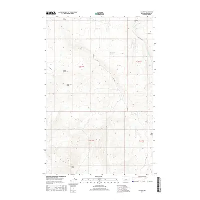
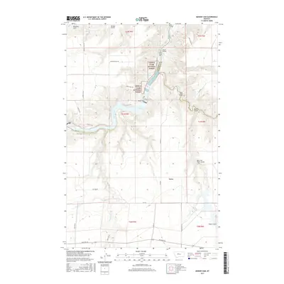
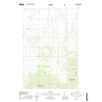
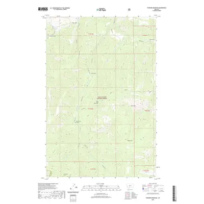
2024 Map of Telegraph Mountain
USGS Topo · Published 2024About this map
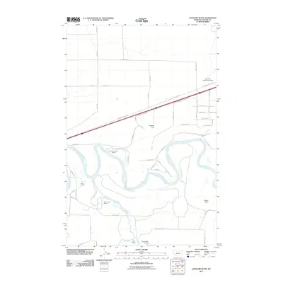
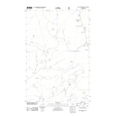
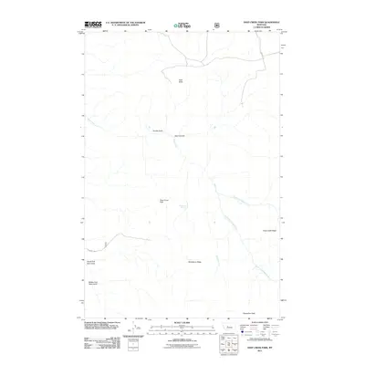
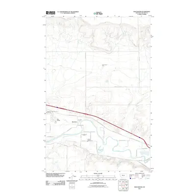
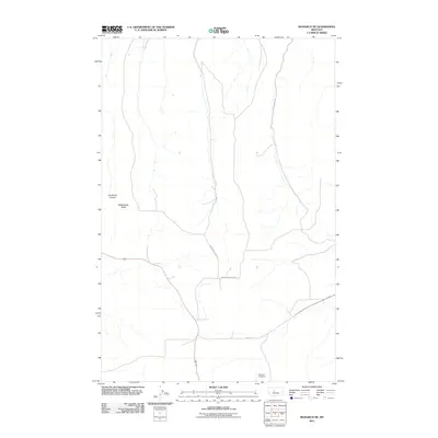
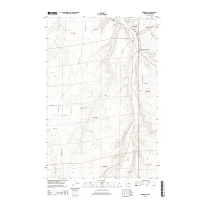
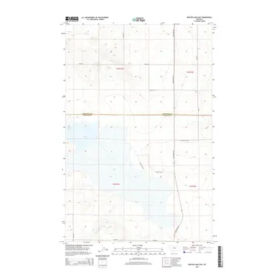
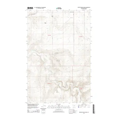
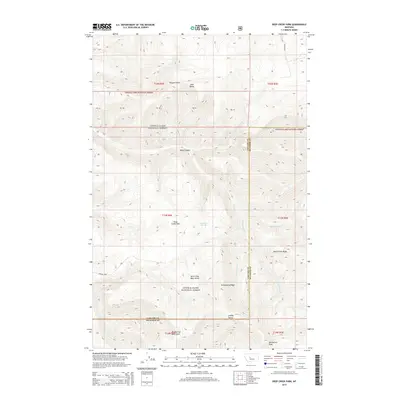
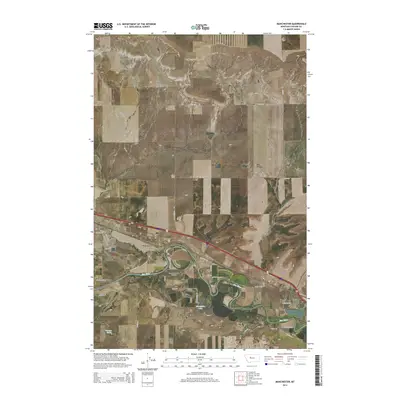
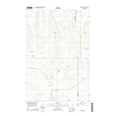
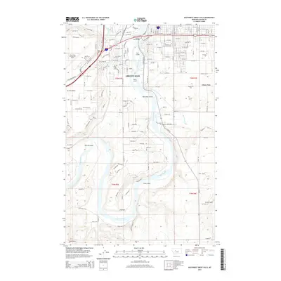
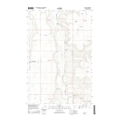
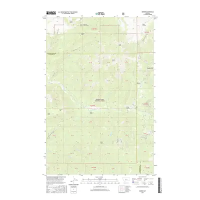
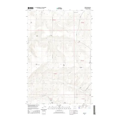
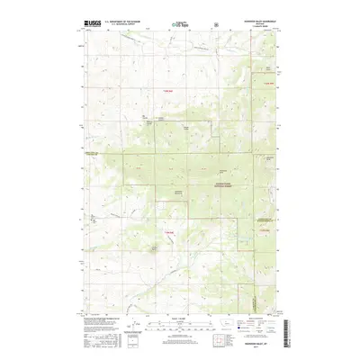
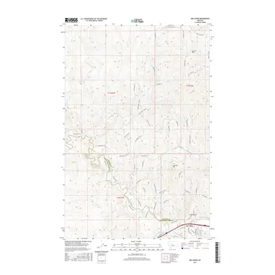
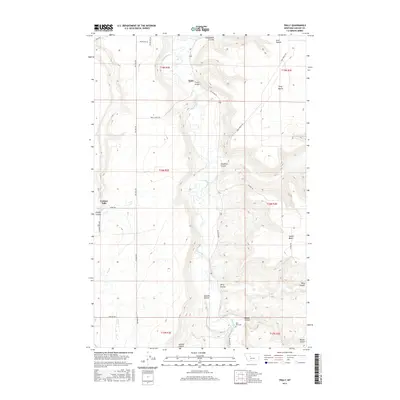
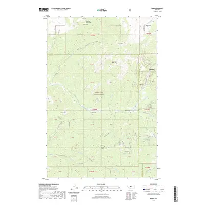
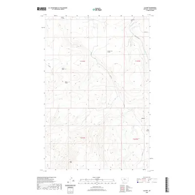
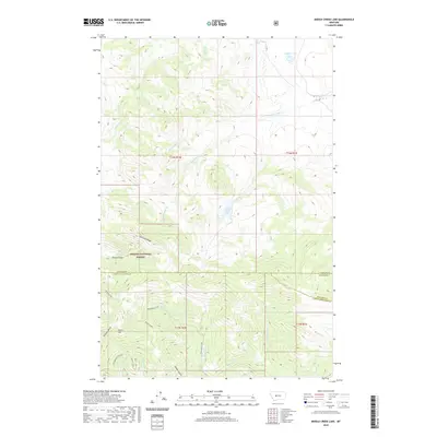
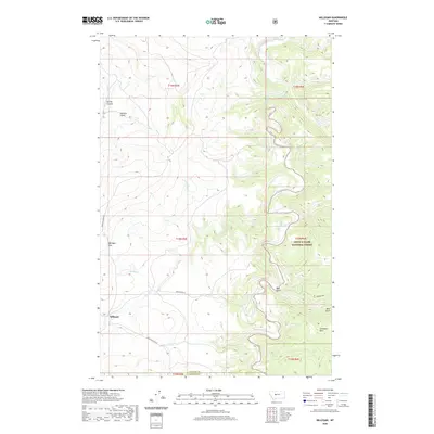
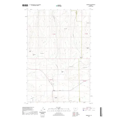
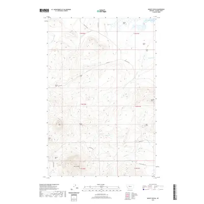
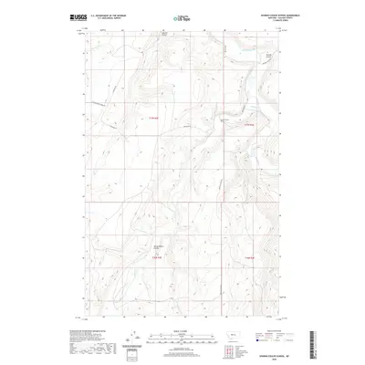
Saint Peters Mission Cem serves as a significant historical anchor in this portion of Cascade County, situated along Mission RD just north of Saddleback Butte. This landscape is defined by its dramatic volcanic and tectonic topography, where isolated peaks like Birdtail Butte, Lionhead Butte, and Haystack Butte rise sharply above the drainages. The rugged character of the Birdtail Divide separates the Sullivan Valley from the western basins, while a network of waterways including Mission Creek, Smith Creek, and Birdtail Creek carve through the foothills. The terrain climbs toward the high points of Telegraph Mtn and China Mtn in the southeast, illustrating the transition from open range to the higher elevations of the Montana front.
Find a feature on this map
33 named features on this map. Tap any name to fly to it.
Don’t see what you’re looking for? This feature index may not catch every label — zoom into the map to look around manually.
Map Details
Editions of this 2024 Telegraph Mountain Map
This is the sole edition of this map. No revisions or reprints were ever made.
Historical Maps of Saint Peter Through Time
257 maps found

1948 Portage
Cascade County, MT

1949 Portage
Cascade County, MT

1955 Gore Hill
Cascade County, MT

1961 Barker
Cascade County, MT

1961 Dana Ranch
Cascade County, MT

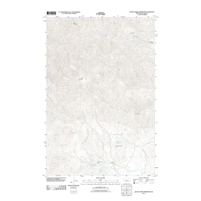
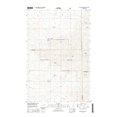
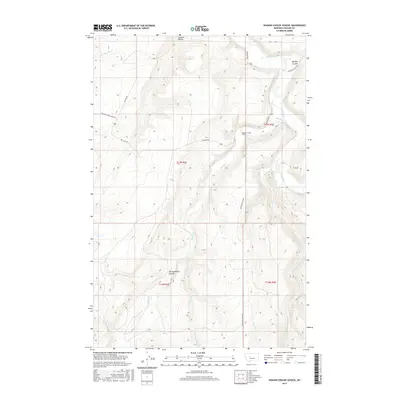
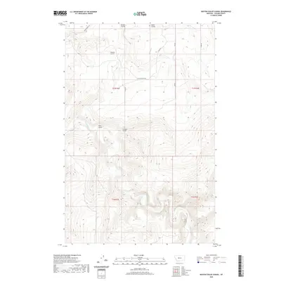
1961 Hound Creek Reservoir
Cascade County, MT

1961 Mid Canon
Cascade County, MT

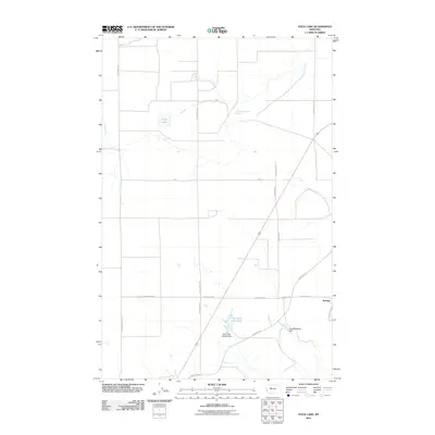
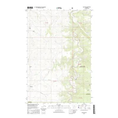
1961 Rocky Reef
Cascade County, MT

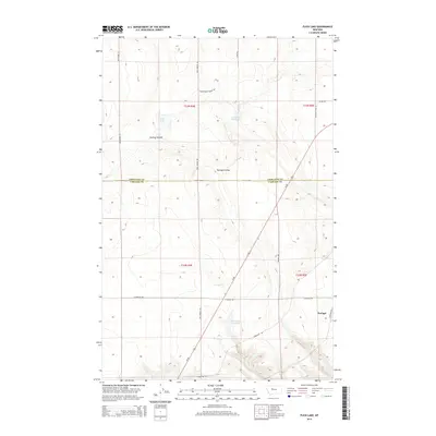
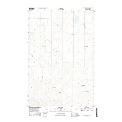
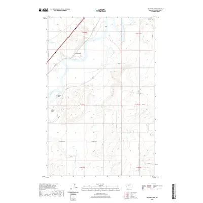
1961 Schrammeck Lake
Cascade County, MT

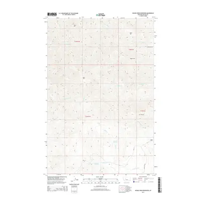
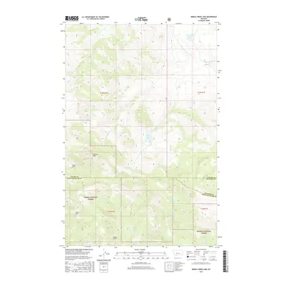
1962 Middle Creek Lake
Cascade County, MT

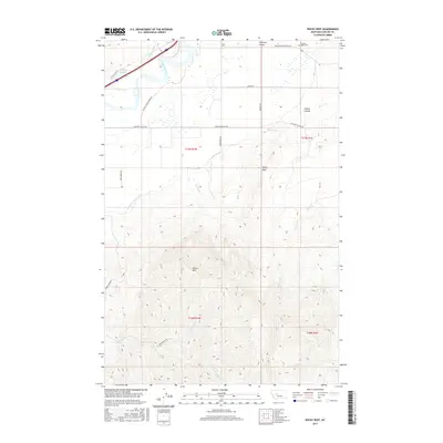
1965 Antelope Butte
Cascade County, MT

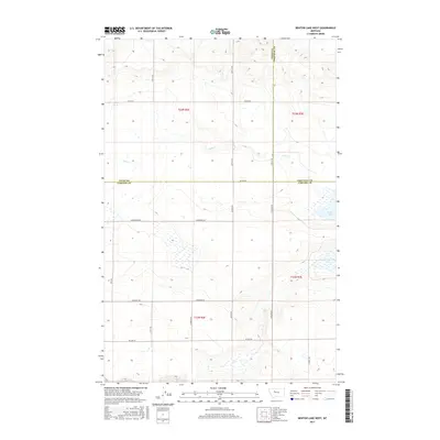
1965 Benton Lake East
Cascade County, MT

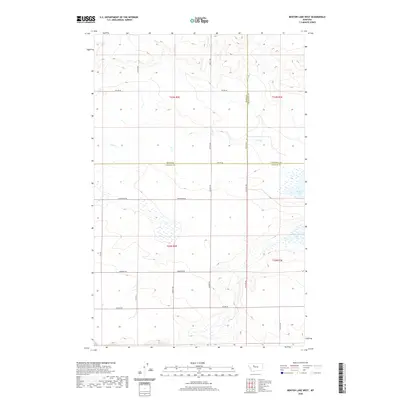
1965 Benton Lake West
Cascade County, MT

1965 Eden
Cascade County, MT

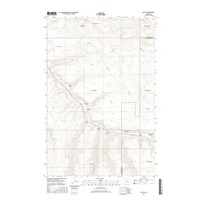
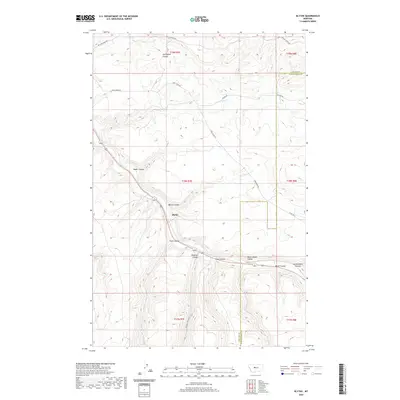
1965 Fife
Cascade County, MT

1965 Flick Lake
Cascade County, MT

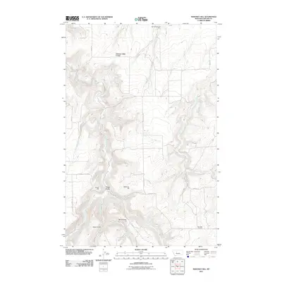
1965 Mahoney Hill
Cascade County, MT

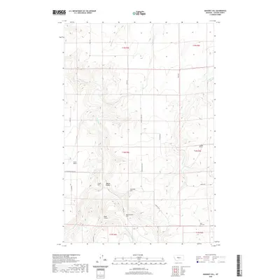
1965 Manchester
Cascade County, MT

1965 Morony Dam
Cascade County, MT

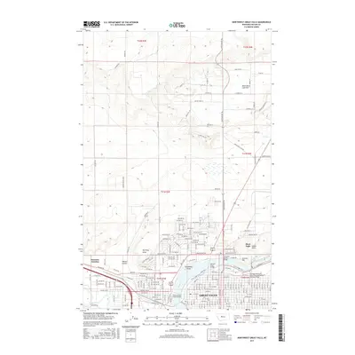
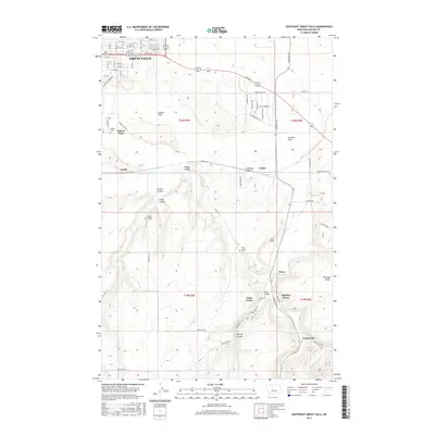
1965 Northeast Great Falls
Cascade County, MT

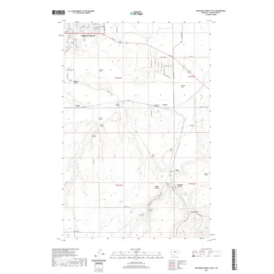
1965 Northwest Great Falls
Cascade County, MT

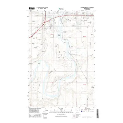
1965 Southeast Great Falls
Cascade County, MT

1965 Southwest Great Falls
Cascade County, MT

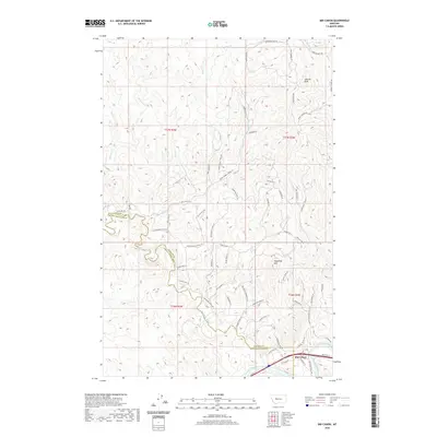
1965 Truly
Cascade County, MT

1967 Belt Park Butte
Cascade County, MT

1967 Monarch NE
Cascade County, MT

1967 Thunder Mountain
Cascade County, MT

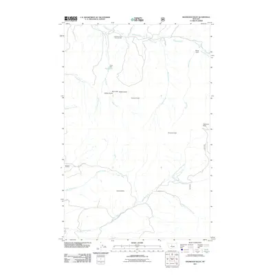
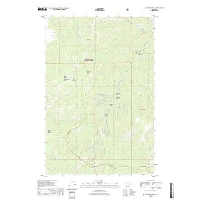
1971 Blankenbaker Flats
Cascade County, MT

1971 Boston Coulee School
Cascade County, MT

1971 Calvert
Cascade County, MT

1971 Conway Ridge
Cascade County, MT

1971 Deep Creek Park
Cascade County, MT

1971 Evans
Cascade County, MT

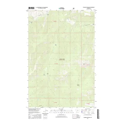
1971 Millegan
Cascade County, MT

1971 Spanish Coulee School
Cascade County, MT

1975 Belt NE
Cascade County, MT

1975 Belt NW
Cascade County, MT

1975 Belt SE
Cascade County, MT

1975 Belt SW
Cascade County, MT

1976 Great Falls South
Cascade County, MT

1979 Highwood Baldy
Cascade County, MT

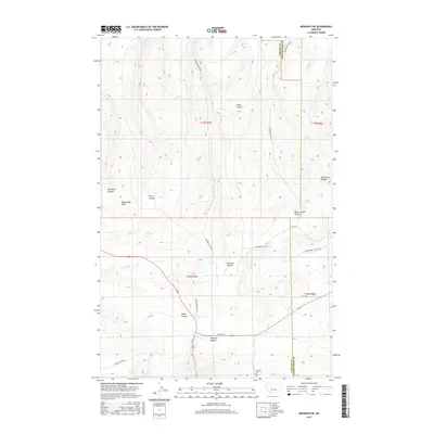
1982 Armington
Cascade County, MT

1982 Belt NE
Cascade County, MT

1982 Blythe
Cascade County, MT

1983 Mount Cecelia
Cascade County, MT

1983 Nelson Island
Cascade County, MT

1983 Telegraph Mountain
Cascade County, MT

1983 Vaughn NE
Cascade County, MT

1995 Barker
Cascade County, MT

1995 Belt Park Butte
Cascade County, MT

1995 Blankenbaker Flats
Cascade County, MT

1995 Deep Creek Park
Cascade County, MT

1995 Evans
Cascade County, MT

1995 Highwood Baldy
Cascade County, MT

1995 Millegan
Cascade County, MT

1995 Monarch NE
Cascade County, MT

1995 Thunder Mountain
Cascade County, MT
2011 Antelope Butte
Cascade County, MT
2011 Armington
Cascade County, MT
2011 Barker
Cascade County, MT
2011 Belt NE
Cascade County, MT
2011 Belt Park Butte
Cascade County, MT
2011 Benton Lake East
Cascade County, MT
2011 Benton Lake West
Cascade County, MT

2011 Blankenbaker Flats
Cascade County, MT
2011 Blythe
Cascade County, MT
2011 Boston Coulee School
Cascade County, MT
2011 Calvert
Cascade County, MT
2011 Conway Ridge
Cascade County, MT
2011 Dana Ranch
Cascade County, MT
2011 Deep Creek Park
Cascade County, MT
2011 Eden
Cascade County, MT
2011 Evans
Cascade County, MT
2011 Fife
Cascade County, MT
2011 Flick Lake
Cascade County, MT
2011 Highwood Baldy
Cascade County, MT
2011 Hound Creek Reservoir
Cascade County, MT
2011 Mahoney Hill
Cascade County, MT
2011 Manchester
Cascade County, MT
2011 Mid Canon
Cascade County, MT
2011 Middle Creek Lake
Cascade County, MT
2011 Millegan
Cascade County, MT
2011 Monarch NE
Cascade County, MT
2011 Morony Dam
Cascade County, MT
2011 Mount Cecelia
Cascade County, MT

2011 Nelson Island
Cascade County, MT

2011 Northeast Great Falls
Cascade County, MT

2011 Northwest Great Falls
Cascade County, MT
2011 Rocky Reef
Cascade County, MT
2011 Schrammeck Lake
Cascade County, MT
2011 Southeast Great Falls
Cascade County, MT
2011 Southwest Great Falls
Cascade County, MT
2011 Spanish Coulee School
Cascade County, MT
2011 Telegraph Mountain
Cascade County, MT
2011 Thunder Mountain
Cascade County, MT
2011 Truly
Cascade County, MT
2011 Vaughn NE
Cascade County, MT

2014 Antelope Butte
Cascade County, MT
2014 Armington
Cascade County, MT
2014 Barker
Cascade County, MT
2014 Belt NE
Cascade County, MT
2014 Belt Park Butte
Cascade County, MT
2014 Benton Lake East
Cascade County, MT
2014 Benton Lake West
Cascade County, MT
2014 Blankenbaker Flats
Cascade County, MT
2014 Blythe
Cascade County, MT
2014 Boston Coulee School
Cascade County, MT
2014 Calvert
Cascade County, MT
2014 Conway Ridge
Cascade County, MT
2014 Dana Ranch
Cascade County, MT
2014 Deep Creek Park
Cascade County, MT
2014 Eden
Cascade County, MT
2014 Evans
Cascade County, MT
2014 Fife
Cascade County, MT
2014 Flick Lake
Cascade County, MT
2014 Highwood Baldy
Cascade County, MT
2014 Hound Creek Reservoir
Cascade County, MT
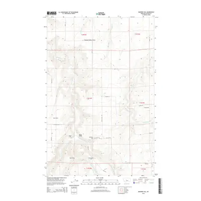
2014 Mahoney Hill
Cascade County, MT
2014 Manchester
Cascade County, MT
2014 Mid Canon
Cascade County, MT
2014 Middle Creek Lake
Cascade County, MT
2014 Millegan
Cascade County, MT
2014 Monarch NE
Cascade County, MT
2014 Morony Dam
Cascade County, MT

2014 Mount Cecelia
Cascade County, MT
2014 Nelson Island
Cascade County, MT

2014 Northeast Great Falls
Cascade County, MT

2014 Northwest Great Falls
Cascade County, MT

2014 Rocky Reef
Cascade County, MT

2014 Schrammeck Lake
Cascade County, MT
2014 Southeast Great Falls
Cascade County, MT
2014 Southwest Great Falls
Cascade County, MT
2014 Spanish Coulee School
Cascade County, MT
2014 Telegraph Mountain
Cascade County, MT
2014 Thunder Mountain
Cascade County, MT
2014 Truly
Cascade County, MT
2014 Vaughn NE
Cascade County, MT
2017 Antelope Butte
Cascade County, MT
2017 Armington
Cascade County, MT
2017 Barker
Cascade County, MT
2017 Belt NE
Cascade County, MT
2017 Belt Park Butte
Cascade County, MT
2017 Benton Lake East
Cascade County, MT
2017 Benton Lake West
Cascade County, MT
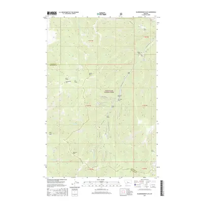
2017 Blankenbaker Flats
Cascade County, MT
2017 Blythe
Cascade County, MT
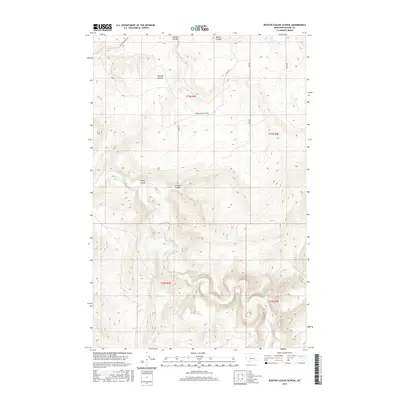
2017 Boston Coulee School
Cascade County, MT
2017 Calvert
Cascade County, MT
2017 Conway Ridge
Cascade County, MT
2017 Dana Ranch
Cascade County, MT
2017 Deep Creek Park
Cascade County, MT
2017 Eden
Cascade County, MT
2017 Evans
Cascade County, MT
2017 Fife
Cascade County, MT
2017 Flick Lake
Cascade County, MT
2017 Highwood Baldy
Cascade County, MT
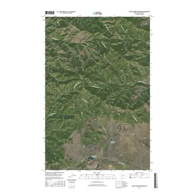
2017 Hound Creek Reservoir
Cascade County, MT
2017 Mahoney Hill
Cascade County, MT
2017 Manchester
Cascade County, MT
2017 Mid Canon
Cascade County, MT
2017 Middle Creek Lake
Cascade County, MT
2017 Millegan
Cascade County, MT
2017 Monarch NE
Cascade County, MT
2017 Morony Dam
Cascade County, MT
2017 Mount Cecelia
Cascade County, MT
2017 Nelson Island
Cascade County, MT
2017 Northeast Great Falls
Cascade County, MT
2017 Northwest Great Falls
Cascade County, MT
2017 Rocky Reef
Cascade County, MT
2017 Schrammeck Lake
Cascade County, MT
2017 Southeast Great Falls
Cascade County, MT
2017 Southwest Great Falls
Cascade County, MT
2017 Spanish Coulee School
Cascade County, MT
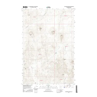
2017 Telegraph Mountain
Cascade County, MT
2017 Thunder Mountain
Cascade County, MT
2017 Truly
Cascade County, MT
2017 Vaughn NE
Cascade County, MT
2020 Antelope Butte
Cascade County, MT
2020 Armington
Cascade County, MT
2020 Barker
Cascade County, MT
2020 Belt NE
Cascade County, MT
2020 Belt Park Butte
Cascade County, MT
2020 Benton Lake East
Cascade County, MT
2020 Benton Lake West
Cascade County, MT
2020 Blankenbaker Flats
Cascade County, MT
2020 Blythe
Cascade County, MT
2020 Boston Coulee School
Cascade County, MT
2020 Calvert
Cascade County, MT

2020 Conway Ridge
Cascade County, MT
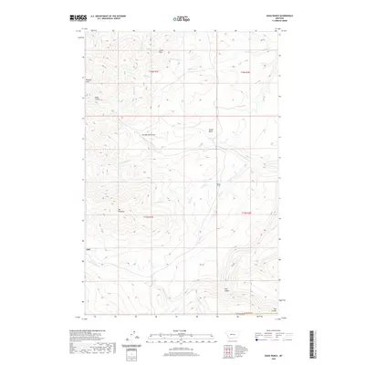
2020 Dana Ranch
Cascade County, MT
2020 Deep Creek Park
Cascade County, MT
2020 Eden
Cascade County, MT
2020 Evans
Cascade County, MT
2020 Fife
Cascade County, MT
2020 Flick Lake
Cascade County, MT
2020 Highwood Baldy
Cascade County, MT
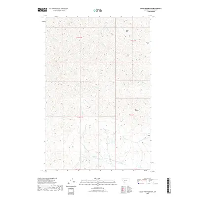
2020 Hound Creek Reservoir
Cascade County, MT
2020 Mahoney Hill
Cascade County, MT
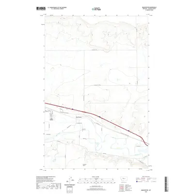
2020 Manchester
Cascade County, MT
2020 Mid Canon
Cascade County, MT
2020 Middle Creek Lake
Cascade County, MT
2020 Millegan
Cascade County, MT
2020 Monarch NE
Cascade County, MT

2020 Morony Dam
Cascade County, MT
2020 Mount Cecelia
Cascade County, MT
2020 Nelson Island
Cascade County, MT

2020 Northeast Great Falls
Cascade County, MT

2020 Northwest Great Falls
Cascade County, MT

2020 Rocky Reef
Cascade County, MT
2020 Schrammeck Lake
Cascade County, MT
2020 Southeast Great Falls
Cascade County, MT
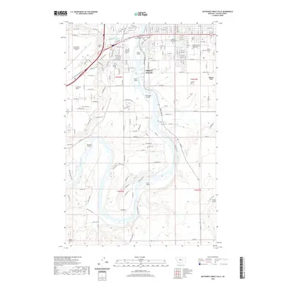
2020 Southwest Great Falls
Cascade County, MT
2020 Spanish Coulee School
Cascade County, MT
2020 Telegraph Mountain
Cascade County, MT
2020 Thunder Mountain
Cascade County, MT
2020 Truly
Cascade County, MT

2020 Vaughn NE
Cascade County, MT

2024 Antelope Butte
Cascade County, MT

2024 Armington
Cascade County, MT

2024 Barker
Cascade County, MT

2024 Belt NE
Cascade County, MT

2024 Belt Park Butte
Cascade County, MT

2024 Benton Lake East
Cascade County, MT

2024 Benton Lake West
Cascade County, MT

2024 Blankenbaker Flats
Cascade County, MT

2024 Blythe
Cascade County, MT

2024 Boston Coulee School
Cascade County, MT

2024 Calvert
Cascade County, MT

2024 Conway Ridge
Cascade County, MT

2024 Dana Ranch
Cascade County, MT

2024 Deep Creek Park
Cascade County, MT

2024 Eden
Cascade County, MT

2024 Evans
Cascade County, MT

2024 Fife
Cascade County, MT

2024 Flick Lake
Cascade County, MT

2024 Highwood Baldy
Cascade County, MT

2024 Hound Creek Reservoir
Cascade County, MT

2024 Mahoney Hill
Cascade County, MT

2024 Manchester
Cascade County, MT

2024 Mid Canon
Cascade County, MT

2024 Middle Creek Lake
Cascade County, MT

2024 Millegan
Cascade County, MT

2024 Monarch NE
Cascade County, MT

2024 Morony Dam
Cascade County, MT

2024 Mount Cecelia
Cascade County, MT

2024 Nelson Island
Cascade County, MT

2024 Northeast Great Falls
Cascade County, MT

2024 Northwest Great Falls
Cascade County, MT

2024 Rocky Reef
Cascade County, MT

2024 Schrammeck Lake
Cascade County, MT

2024 Southeast Great Falls
Cascade County, MT

2024 Southwest Great Falls
Cascade County, MT

2024 Spanish Coulee School
Cascade County, MT
2024 Telegraph Mountain
Cascade County, MT

2024 Thunder Mountain
Cascade County, MT

2024 Truly
Cascade County, MT

2024 Vaughn NE
Cascade County, MT