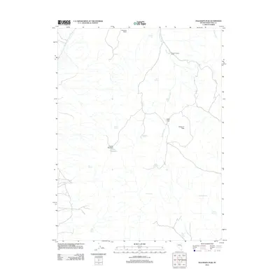
2012 Map of Telegraph Peak
USGS Topo · Published 2012About this map
Telegraph Peak dominates this high-altitude landscape in Nevada's White Pine County, anchoring a terrain defined by its water sources and livestock history. The map documents the critical infrastructure of the high desert range, including the Telegraph Shearing Corrals and Quakies Sheep Camp, which suggest the area's continued use for sheep and cattle grazing. These pastoral outposts are supported by a complex network of named water sources like Telegraph Creek and Rabbit Creek.
Find a feature on this map
19 named features on this map. Tap any name to fly to it.
Don’t see what you’re looking for? This feature index may not catch every label — zoom into the map to look around manually.
Map Details
Editions of this 2012 Telegraph Peak Map
This is the sole edition of this map. No revisions or reprints were ever made.
Other maps of this area

1956 · Ely
USGS Topo · 1:250,000

1959 · Ely
USGS Topo · 1:250,000
1962 · Hunter Point
USGS Topo · 1:24,000

1963 · Ely
USGS Topo · 1:250,000
1982 · Borchert Spring
USGS Topo · 1:24,000
1982 · Franks Well
USGS Topo · 1:24,000
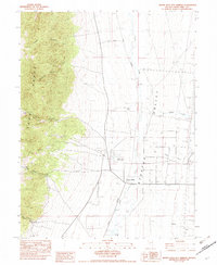
1982 · Monte Neva Hot Springs
USGS Topo · 1:24,000
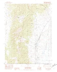
1982 · Steptoe Ranch
USGS Topo · 1:24,000
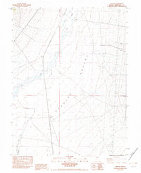
1982 · Steptoe
USGS Topo · 1:24,000
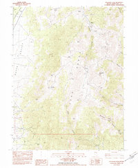
1982 · Telegraph Peak
USGS Topo · 1:24,000