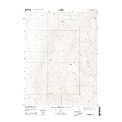
2014 Map of Telegraph Peak
USGS Topo · Published 2014About this map
Telegraph Peak dominates this high-altitude landscape within the Egan Range, rising above a series of deeply carved canyons and dispersed water sources. The map highlights the reliance on isolated springs in this arid high-desert environment, with family or locational names such as Hunter Springs, Billy Pope Spring, and April Fool Spring marking critical points across the terrain. Access through the mountains is facilitated by the Egan Canyon Rd, which skirts the Ninemile Basin and provides a corridor through the high country.
Find a feature on this map
33 named features on this map. Tap any name to fly to it.
Don’t see what you’re looking for? This feature index may not catch every label — zoom into the map to look around manually.
Map Details
Editions of this 2014 Telegraph Peak Map
This is the sole edition of this map. No revisions or reprints were ever made.
Other maps of this area

1956 · Ely
USGS Topo · 1:250,000

1959 · Ely
USGS Topo · 1:250,000
1962 · Hunter Point
USGS Topo · 1:24,000

1963 · Ely
USGS Topo · 1:250,000
1982 · Borchert Spring
USGS Topo · 1:24,000
1982 · Franks Well
USGS Topo · 1:24,000
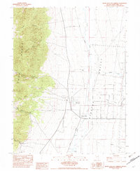
1982 · Monte Neva Hot Springs
USGS Topo · 1:24,000
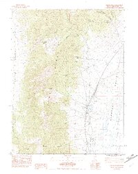
1982 · Steptoe Ranch
USGS Topo · 1:24,000
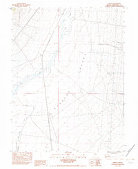
1982 · Steptoe
USGS Topo · 1:24,000
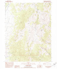
1982 · Telegraph Peak
USGS Topo · 1:24,000