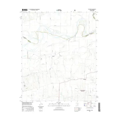
2016 Map of Telephone
USGS Topo · Published 2016About this map
The Red River carves a winding border between Oklahoma and Texas in this section of Fannin County, defining the northern landscape of the Telephone quadrangle. The unincorporated communities of Elwood and Telephone anchor the region, connected by a network of county roads such as FM 273 and FM 2554. To the south, the protected acreage of the Caddo National Grassland provides a contrast to the surrounding agricultural parcels and private ranch land.
Find a feature on this map
54 named features on this map. Tap any name to fly to it.
Don’t see what you’re looking for? This feature index may not catch every label — zoom into the map to look around manually.
Map Details
Editions of this 2016 Telephone Map
This is the sole edition of this map. No revisions or reprints were ever made.
Other maps of this area

1903 · Paris
USGS Topo · 1:125,000

1947 · Honey Grove
USGS Topo · 1:62,500

1948 · Direct
USGS Topo · 1:62,500

1949 · Direct
USGS Topo · 1:62,500

1949 · Honey Grove
USGS Topo · 1:62,500

1953 · Texarkana
USGS Topo · 1:250,000

1954 · Sherman
USGS Topo · 1:250,000

1956 · Texarkana
USGS Topo · 1:250,000

1957 · Wade
USGS Topo · 1:62,500

1958 · Bonham
USGS Topo · 1:62,500