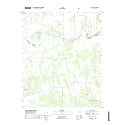
2019 Map of Telephone
USGS Topo · Published 2019About this map
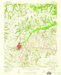
The borderlands of the Red River valley are defined by the small settlements of Telephone and Elwood in this modern topographic record. The landscape is characterized by the expansive woodland and pasture of the Caddo National Grassland, which dominates the southern portion of the map. While the terrain is primarily rural, the intricate web of county roads and farm-to-market routes like FM 273 and FM 409 reveals a persistent pattern of agricultural land use and dispersed residency. Along the northern boundary, the shifting course of the Red River marks the state line between Texas and Oklahoma, where numerous islands and sandbars illustrate the river's influence on local geography and property boundaries.
Find a feature on this map
2 named features on this map. Tap any name to fly to it.
Don’t see what you’re looking for? This feature index may not catch every label — zoom into the map to look around manually.
Map Details
Editions of this 2019 Telephone Map
This is the sole edition of this map. No revisions or reprints were ever made.
Other maps of this area
1903 · Paris
USGS Topo · 1:125,000
1947 · Honey Grove
USGS Topo · 1:62,500
1948 · Direct
USGS Topo · 1:62,500
1949 · Direct
USGS Topo · 1:62,500
1949 · Honey Grove
USGS Topo · 1:62,500

1953 · Texarkana
USGS Topo · 1:250,000

1954 · Sherman
USGS Topo · 1:250,000
1956 · Texarkana
USGS Topo · 1:250,000
1957 · Wade
USGS Topo · 1:62,500
1958 · Bonham
USGS Topo · 1:62,500