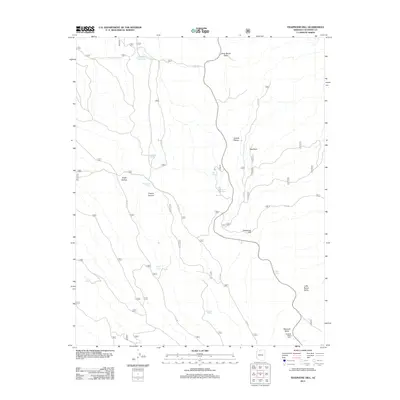
2012 Map of Telephone Hill
USGS Topo · Published 2012About this map
Kaibab Plateau high country defines this 2012 survey, revealing a landscape managed by the U.S. Forest Service through an extensive network of fire roads and trails. The map documents the high-elevation meadows of Pleasant Valley and Little Round Valley, which contrast with the drainage systems of Franks Canyon and Snipe Hollow. These valleys served as critical hubs for early 21st-century backcountry activity, anchored by the Pleasant Valley Cabin in the southeast.
Find a feature on this map
27 named features on this map. Tap any name to fly to it.
Don’t see what you’re looking for? This feature index may not catch every label — zoom into the map to look around manually.
Map Details
Editions of this 2012 Telephone Hill Map
This is the sole edition of this map. No revisions or reprints were ever made.
Other maps of this area
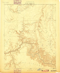
1886 · Kaibab
USGS Topo · 1:250,000
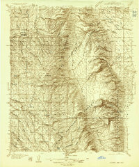
1936 · Jacobs Lake
USGS Topo · 1:48,000
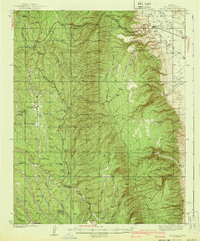
1940 · Jacob Lake
USGS Topo · 1:62,500
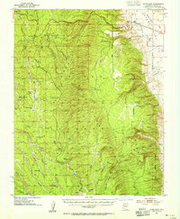
1953 · Jacobs Lake
USGS Topo · 1:62,500

1953 · Grand Canyon
USGS Topo · 1:250,000

1957 · Grand Canyon
USGS Topo · 1:250,000

1958 · Grand Canyon
USGS Topo · 1:250,000
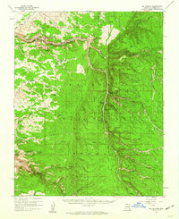
1958 · Big Springs
USGS Topo · 1:62,500
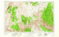
1960 · Grand Canyon
USGS Topo · 1:250,000
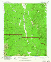
1962 · De Motte Park
USGS Topo · 1:62,500