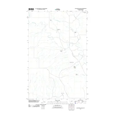
2011 Map of Telescope Coulee
USGS Topo · Published 2011About this map
Lodge Creek and Battle Creek define this landscape of Blaine County, where a complex network of coulees and drainage basins shapes the high plains of northern Montana. The topography is etched with deep seasonal channels including Thibadeau Coulee, Hanson Coulee, and the eponymous Telescope Coulee, illustrating the erosional character of this region. Human modification of the arid environment is evident through several small reservoirs and irrigation works, notably the North Chinook Irrigation Canal and a series of water management points like Skoyen Dam and Elias Number 1 Dam.
Find a feature on this map
18 named features on this map. Tap any name to fly to it.
Don’t see what you’re looking for? This feature index may not catch every label — zoom into the map to look around manually.
Map Details
Editions of this 2011 Telescope Coulee Map
This is the sole edition of this map. No revisions or reprints were ever made.
Other maps of this area

1904 · Yantic
USGS Topo · 1:62,500

1904 · Chinook
USGS Topo · 1:62,500

1912 · Zurich
USGS Topo · 1:125,000

1953 · Havre
USGS Topo · 1:250,000

1957 · Havre
USGS Topo · 1:250,000

1958 · Havre
USGS Topo · 1:250,000

1964 · Rabbit Hills
USGS Topo · 1:24,000

1964 · Telescope Coulee
USGS Topo · 1:24,000
1964 · Lohman SE
USGS Topo · 1:24,000
1964 · Reservoir Coulee
USGS Topo · 1:24,000