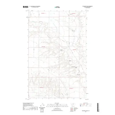
2020 Map of Telescope Coulee
USGS Topo · Published 2020About this map
Fort Belknap Canal and the N Chinook Irrigation Canal serve as the primary human interventions in this arid landscape, highlighting the critical role of water management in northern Blaine County. This modern survey illustrates how irrigation infrastructure skirts the base of the drainage systems that define the area's geography. The map is dominated by a series of erosion-carved coulees including Telescope Coulee, Hanson Coulee, and Thibadeau Coulee, which channel seasonal runoff toward larger water bodies like Lodge Cr and Battle Cr. These features, along with names like O'Hanlon Coulee and Wallace Coulee, reflect the long-standing ranching and agricultural presence in the region. Local transit is limited to unpaved connectors such as Boldt Rd and Ellome Rd, which follow the natural contours of the terrain and the boundaries of established townships.
Find a feature on this map
24 named features on this map. Tap any name to fly to it.
Don’t see what you’re looking for? This feature index may not catch every label — zoom into the map to look around manually.
Map Details
Editions of this 2020 Telescope Coulee Map
This is the sole edition of this map. No revisions or reprints were ever made.
Other maps of this area
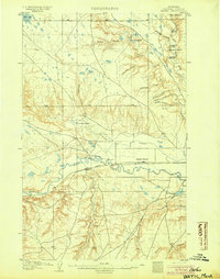
1904 · Yantic
USGS Topo · 1:62,500
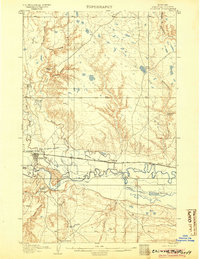
1904 · Chinook
USGS Topo · 1:62,500
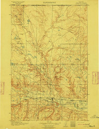
1912 · Zurich
USGS Topo · 1:125,000

1953 · Havre
USGS Topo · 1:250,000

1957 · Havre
USGS Topo · 1:250,000

1958 · Havre
USGS Topo · 1:250,000
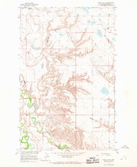
1964 · Rabbit Hills
USGS Topo · 1:24,000
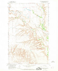
1964 · Telescope Coulee
USGS Topo · 1:24,000
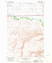
1964 · Lohman SE
USGS Topo · 1:24,000
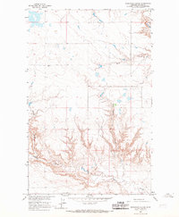
1964 · Reservoir Coulee
USGS Topo · 1:24,000