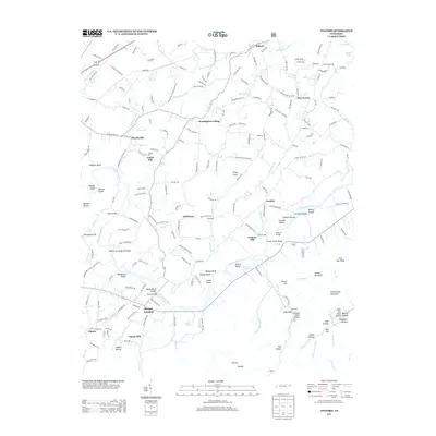
2013 Map of Telford
USGS Topo · Published 2013About this map
Washington College stands as a focal point in this portion of Washington County, where the historic campus and surrounding community of Broylesville meet the agricultural landscape. The Nolichucky River meanders through the southern half of the region, creating a complex series of water features including Wilsons Shoals, Clarks Shoals, and Jacksons Shoals. This river corridor was historically significant for industry, evidenced by the location of Graham Mill near Conklin and Adams Mill further downstream. In the southeastern corner, the terrain rises sharply toward Embreeville Mountain and Potato Hill. This area is marked by a legacy of early industry and resource extraction, notably preserved by the Furnace Stack label near Sally Hole and various hollows such as West Ore Bank Hollow. The map also traces the Norfolk Southern railroad line through the northern settlements of Telford and New Victory.
Find a feature on this map
199 named features on this map. Tap any name to fly to it.
Don’t see what you’re looking for? This feature index may not catch every label — zoom into the map to look around manually.
Map Details
Editions of this 2013 Telford Map
This is the sole edition of this map. No revisions or reprints were ever made.
Other maps of this area

1891 · Roan Mountain
USGS Topo · 1:125,000

1892 · Greeneville
USGS Topo · 1:125,000

1894 · Roan Mountain
USGS Topo · 1:125,000

1896 · Greeneville
USGS Topo · 1:125,000

1904 · Roan Mountain
USGS Topo · 1:125,000

1904 · Greeneville
USGS Topo · 1:125,000

1935 · Chestoa
USGS Topo · 1:24,000

1935 · Leesburg
USGS Topo · 1:24,000

1935 · Erwin
USGS Topo · 1:24,000

1935 · Fall Branch
USGS Topo · 1:48,000