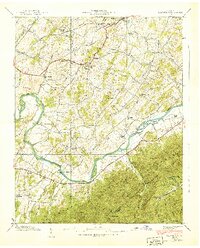
1939 Map of Telford
USGS Topo · Published 1939About this map
The Nolichucky River carves through this late 1930s landscape of eastern Tennessee, dividing the fertile farming valleys from the rising slopes of Embreeville Mountain and the Cherokee National Forest. Long-established settlements like Washington College and Telford anchor the northern half of the sheet, served by the Southern railroad and the Andrew Johnson Highway.
Find a feature on this map
67 named features on this map. Tap any name to fly to it.
Don’t see what you’re looking for? This feature index may not catch every label — zoom into the map to look around manually.
Map Details
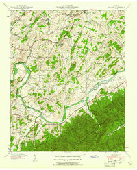
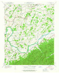
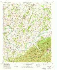
Editions of this 1939 Telford Map
4 editions found
Other maps of this area

1891 · Roan Mountain
USGS Topo · 1:125,000

1892 · Greeneville
USGS Topo · 1:125,000

1894 · Roan Mountain
USGS Topo · 1:125,000

1896 · Greeneville
USGS Topo · 1:125,000

1904 · Roan Mountain
USGS Topo · 1:125,000

1904 · Greeneville
USGS Topo · 1:125,000

1935 · Chestoa
USGS Topo · 1:24,000

1935 · Leesburg
USGS Topo · 1:24,000

1935 · Erwin
USGS Topo · 1:24,000

1935 · Fall Branch
USGS Topo · 1:48,000