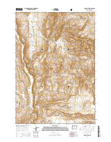
2014 Map of Teller Butte
USGS Topo · Published 2014About this map
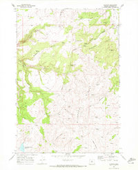
Crooked River National Grassland dominates this central Oregon landscape, where high-desert canyons and flat plateaus meet. The area is defined by a series of drainages, most notably Hay Creek and Wilson Cr, which carve through the volcanic terrain between Eagle Point and Teller Butte. This 2014 survey reveals a ranching and land-management landscape marked by isolated water sources such as Cottonwood Springs, Hatfield Spring, and Windy Brush Spring. Cultural history is anchored at the Hay Creek Cem near the southern edge of the map, located along Haycreek Rd beneath the Baldwin Hills. The network of roads, including the historic Old Hwy 97 and the steep Hunter Grade, illustrates how travel in Jefferson County has long been dictated by the deep incisions of Devils Canyon and Old Maids Canyon.
Find a feature on this map
38 named features on this map. Tap any name to fly to it.
Don’t see what you’re looking for? This feature index may not catch every label — zoom into the map to look around manually.
Map Details
Editions of this 2014 Teller Butte Map
This is the sole edition of this map. No revisions or reprints were ever made.
Other maps of this area
1928 · Madras
USGS Topo · 1:125,000
1931 · Madras
USGS Topo · 1:125,000

1955 · Bend
USGS Topo · 1:250,000

1957 · Bend
USGS Topo · 1:250,000
1958 · Bend
USGS Topo · 1:250,000
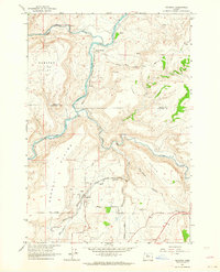
1962 · Gateway
USGS Topo · 1:24,000
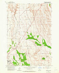
1963 · Madras East
USGS Topo · 1:24,000
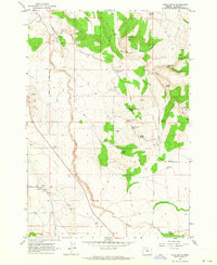
1963 · Buck Butte
USGS Topo · 1:24,000
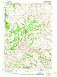
1966 · Willowdale
USGS Topo · 1:62,500
1968 · Ashwood
USGS Topo · 1:24,000