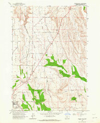
1963 Map of Madras East
USGS Topo · Published 1964About this map
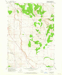
Agency Plains dominates the western portion of this Central Oregon landscape, characterized by a grid of named agricultural routes including Gumwood Lane and Cherry Lane. The high desert terrain is punctuated by significant water infrastructure like Cotter Pond and the Mud Springs Creek drainage, vital for the local ranching and farming economy. In the southwest, the growing community of Madras is anchored by the Madras Jr High Sch, while the Oregon Trunk railroad (Spokane Portland and Seattle) runs north-south through the center of the sheet, passing through the small settlement of Paxton. The eastern hills contain numerous family-named landmarks such as Monner Spring, Schmoker Spring, and Kutcher Well, alongside a network of pipelines and storage facilities that trace the development of water resources in Jefferson County during the early 1960s.
Find a feature on this map
33 named features on this map. Tap any name to fly to it.
Don’t see what you’re looking for? This feature index may not catch every label — zoom into the map to look around manually.
Map Details
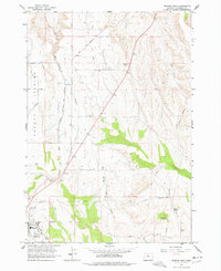
Editions of this 1963 Madras East Map
2 editions found
Other maps of this area

1928 · Madras
USGS Topo · 1:125,000

1931 · Madras
USGS Topo · 1:125,000

1955 · Bend
USGS Topo · 1:250,000

1957 · Bend
USGS Topo · 1:250,000

1958 · Bend
USGS Topo · 1:250,000

1962 · Eagle Butte
USGS Topo · 1:24,000

1962 · Gateway
USGS Topo · 1:24,000
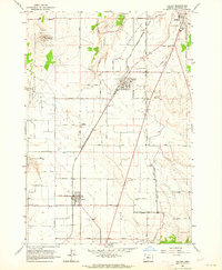
1963 · Culver
USGS Topo · 1:24,000
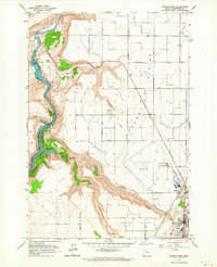
1963 · Madras West
USGS Topo · 1:24,000
1963 · Buck Butte
USGS Topo · 1:24,000