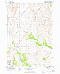
1963 Map of Madras East
USGS Topo · Published 1978About this map
Agency Plains dominates the western half of this landscape, a high agricultural plateau marked by a grid of rural lanes like Gumwood Lane and Fir Lane. The Spokane Portland and Seattle (Trunk Line) and the Oregon Trunk railroad route north through Paxton, illustrating the vital rail corridor through Jefferson County in the early 1960s. This survey, completed with data from the U.S. Bureau of Reclamation, shows the transition from the irrigated plains to the dissected canyonlands of the east.
Find a feature on this map
37 named features on this map. Tap any name to fly to it.
Don’t see what you’re looking for? This feature index may not catch every label — zoom into the map to look around manually.
Map Details
Editions of this 1963 Madras East Map
2 editions found
Other maps of this area

1928 · Madras
USGS Topo · 1:125,000

1931 · Madras
USGS Topo · 1:125,000

1955 · Bend
USGS Topo · 1:250,000

1957 · Bend
USGS Topo · 1:250,000

1958 · Bend
USGS Topo · 1:250,000

1962 · Eagle Butte
USGS Topo · 1:24,000

1962 · Gateway
USGS Topo · 1:24,000
1963 · Culver
USGS Topo · 1:24,000
1963 · Madras West
USGS Topo · 1:24,000
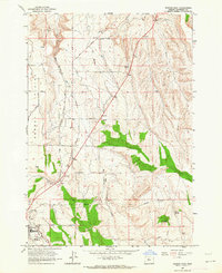
1963 · Madras East
USGS Topo · 1:24,000