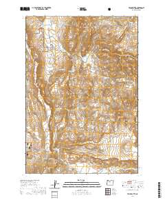
2020 Map of Teller Butte
USGS Topo · Published 2020About this map
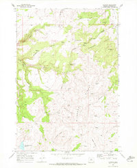
Crooked River National Grassland dominates the western edge of this landscape, where the high desert terrain transitions into a complex system of canyons and flats. The southern portion of the map is defined by the Baldwin Hills and the agricultural activity surrounding Ashwood Rd and SE Hay Creek Rd, including the Hay Creek Cem.
Find a feature on this map
38 named features on this map. Tap any name to fly to it.
Don’t see what you’re looking for? This feature index may not catch every label — zoom into the map to look around manually.
Map Details
Editions of this 2020 Teller Butte Map
This is the sole edition of this map. No revisions or reprints were ever made.
Other maps of this area
1928 · Madras
USGS Topo · 1:125,000
1931 · Madras
USGS Topo · 1:125,000

1955 · Bend
USGS Topo · 1:250,000

1957 · Bend
USGS Topo · 1:250,000
1958 · Bend
USGS Topo · 1:250,000
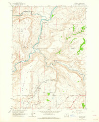
1962 · Gateway
USGS Topo · 1:24,000
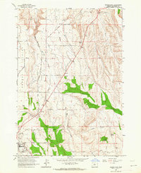
1963 · Madras East
USGS Topo · 1:24,000
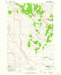
1963 · Buck Butte
USGS Topo · 1:24,000
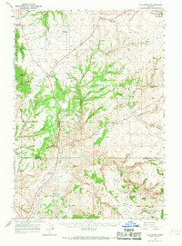
1966 · Willowdale
USGS Topo · 1:62,500
1968 · Ashwood
USGS Topo · 1:24,000