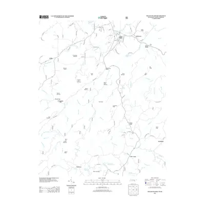
2013 Map of Tellico Plains
USGS Topo · Published 2013About this map
Tellico Plains serves as the gateway to the high ridges of southeastern Tennessee in this early 21st-century record. The landscape is defined by the sharp rise from the Conasauga Creek valley toward the prominent heights of Tellico Mountain, Queens Mountain, and Cataska Mountain. This area is rich with family-named landforms and small, enduring settlements such as Rural Vale, Coker Creek, and Jalapa. The drainage patterns are intricate, with numerous branches like Powdermill Br and Chormley Br feeding into the larger river systems.
Find a feature on this map
149 named features on this map. Tap any name to fly to it.
Don’t see what you’re looking for? This feature index may not catch every label — zoom into the map to look around manually.
Map Details
Editions of this 2013 Tellico Plains Map
This is the sole edition of this map. No revisions or reprints were ever made.
Other maps of this area

1893 · Murphy
USGS Topo · 1:125,000

1914 · Murphy
USGS Topo · 1:125,000

1933 · Haw Knob
USGS Topo · 1:48,000

1933 · Bald River Falls
USGS Topo · 1:24,000

1933 · Rafter
USGS Topo · 1:24,000

1934 · Mount Vernon
USGS Topo · 1:24,000

1934 · Mecca
USGS Topo · 1:24,000

1934 · Unaka
USGS Topo · 1:24,000

1934 · Englewood
USGS Topo · 1:24,000

1934 · Murphy
USGS Topo · 1:48,000