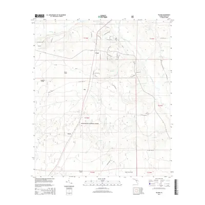
2015 Map of Telogia
USGS Topo · Published 2015About this map
Telogia serves as the central hub of this portion of the Florida Panhandle, situated within a landscape dominated by the northern reaches of the Apalachicola National Forest. The geography is defined by a dense network of watercourses, including Telogia Creek, Western Br, and Yellow Cr, which thread through the lowlands between Brushy Islands and Black Cat Islands. Small settlements like Clio and Liberty appear along the local road system, while family history is preserved in several rural burial grounds such as Saint Marys Cem and Old Burnoff Cem. The area’s character is shaped by a mix of forestry lands and scattered agriculture, with numerous named branches and creeks like McNair Br and Barbecue Br influencing the local drainage and settlement patterns.
Find a feature on this map
65 named features on this map. Tap any name to fly to it.
Don’t see what you’re looking for? This feature index may not catch every label — zoom into the map to look around manually.
Map Details
Editions of this 2015 Telogia Map
This is the sole edition of this map. No revisions or reprints were ever made.
Other maps of this area

1943 · Lake Talquin
USGS Topo · 1:62,500

1944 · Queens Bay
USGS Topo · 1:24,000

1945 · Smith Creek
USGS Topo · 1:31,680

1945 · Hosford
USGS Topo · 1:31,680

1945 · Bristol
USGS Topo · 1:31,680

1945 · Woods
USGS Topo · 1:31,680

1945 · Telogia
USGS Topo · 1:24,000

1946 · Queens Bay
USGS Topo · 1:31,680

1946 · Telogia
USGS Topo · 1:31,680
1946 · Wilma
USGS Topo · 1:31,680