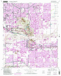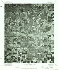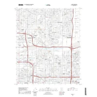
1958 Map of Tempe
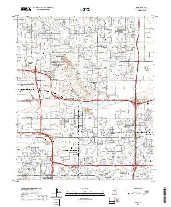
USGS Topo · Published 1968About this map
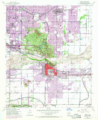
The Salt River corridor defines this mid-century landscape, where industrial infrastructure and academic growth meet the desert terrain. At the heart of the sheet, Arizona State College at Tempe sits adjacent to the commercial district, while the rugged silhouettes of Barnes Butte and the Papago State Park dominate the northern view. The map captures a critical period of expansion, evidenced by the extensive network of irrigation canals including the Arizona Canal, Grand Canal, and Western Canal that sustained the valley's agriculture and early suburban development.
Find a feature on this map
67 named features on this map. Tap any name to fly to it.
Don’t see what you’re looking for? This feature index may not catch every label — zoom into the map to look around manually.
Map Details
Editions of this 1958 Tempe Map
This is the sole edition of this map. No revisions or reprints were ever made.
Historical Maps of Phoenix Through Time
7 maps found