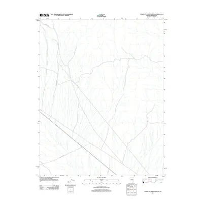
2012 Map of Tempiute Mountain SE
USGS Topo · Published 2012About this map
Tempiute Mine Rd cuts through this high desert region of Lincoln County, reflecting the industrial transit routes that define the area's modern topography. The landscape is characterized by a network of specialized utility and mining corridors, such as Pole Line Rd and Black Tank Rd, which navigate the arid basins and alluvial fans typical of southeastern Nevada. These thoroughfares suggest a geography shaped by resource extraction and infrastructure management, connecting remote work sites through the open terrain. The presence of Red Cow Rd indicates localized land use patterns within a territory otherwise dominated by large-scale energy and mining logistical needs.
Find a feature on this map
4 named features on this map. Tap any name to fly to it.
Don’t see what you’re looking for? This feature index may not catch every label — zoom into the map to look around manually.
Map Details
Editions of this 2012 Tempiute Mountain SE Map
This is the sole edition of this map. No revisions or reprints were ever made.
Other maps of this area
1942 · Emigrant Valley
USGS Topo · 1:125,000
1942 · Penoyer Valley
USGS Topo · 1:125,000
1945 · Alamo
USGS Topo · 1:125,000

1954 · Caliente
USGS Topo · 1:250,000
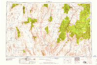
1959 · Caliente
USGS Topo · 1:250,000
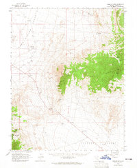
1964 · Tempiute Mtn
USGS Topo · 1:62,500
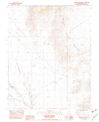
1983 · Crescent Reservoir
USGS Topo · 1:24,000
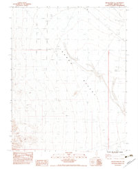
1983 · Groom Range NE
USGS Topo · 1:24,000
1985 · Pahranagat Range
USGS Topo · 1:100,000
1985 · Mount Irish
USGS Topo · 1:24,000