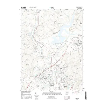
2016 Map of Temple
USGS Topo · Published 2016About this map
The Schuylkill River and its tributary, Maiden Creek, define the landscape of this Berks County corridor during the mid-2010s. The northern reaches are characterized by the significant expanse of Ontelaunee Lake, created by the damming of Maiden Creek, which submerged older valley terrain. Surrounding this reservoir are established settlements like Leesport, Shoemakersville, and Blandon, alongside numerous smaller communities such as Rickenbach and Berkley.
Find a feature on this map
270 named features on this map. Tap any name to fly to it.
Don’t see what you’re looking for? This feature index may not catch every label — zoom into the map to look around manually.
Map Details
Editions of this 2016 Temple Map
This is the sole edition of this map. No revisions or reprints were ever made.
Other maps of this area

1889 · Pottsville
USGS Topo · 1:62,500

1891 · Pottsville
USGS Topo · 1:62,500

1894 · Reading
USGS Topo · 1:62,500

1902 · Wernersville
USGS Topo · 1:62,500

1909 · Hamburg
USGS Topo · 1:62,500

1911 · Hamburg
USGS Topo · 1:62,500

1913 · Reading
USGS Topo · 1:62,500

1915 · Reading
USGS Topo · 1:62,500

1943 · Wernersville
USGS Topo · 1:62,500

1944 · Reading
USGS Topo · 1:62,500
Featured Places
- Muhlenberg Park, Muhlenberg Township
- Laureldale, PA
- Leesport, PA
- Shoemakersville, PA
- Ontelaunee Township, PA