Loading...
Loading map...2023 Map of Temple
USGS Topo · Published 2023About this map
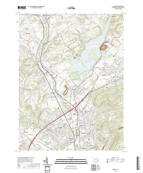
The Schuylkill River carves a winding path through this portion of Berks County, anchoring a landscape where long-established borough life meets modern infrastructure. The large expanse of Ontelaunee Lake dominates the central terrain, bordered by settlements like Ontelaunee and Leesport. For those tracing local history, the map identifies numerous significant burial sites, including the Maidencreek Friends Meeting Burial Ground and the Laureldale Cem.
Find a feature on this map
293 named features on this map. Tap any name to fly to it.
Don’t see what you’re looking for? This feature index may not catch every label — zoom into the map to look around manually.
Map Details
Date Portrayed2023
Date Published2023
PublisherU.S. Geological Survey
Map TypeTopographic
Scale1:24000
Physical Dimensions24 x 29 inches
Editions of this 2023 Temple Map
This is the sole edition of this map. No revisions or reprints were ever made.
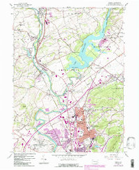
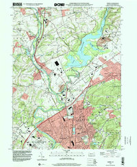
Historical Maps of Dauberville Through Time
Featured Locations
- Laureldale, PA
- Leesport, PA
- Ontelaunee Township, PA
- Shoemakersville, PA
- Muhlenberg Park, Muhlenberg Township
Source Details
SourceU.S. Geological Survey
CopyrightPublic Domain