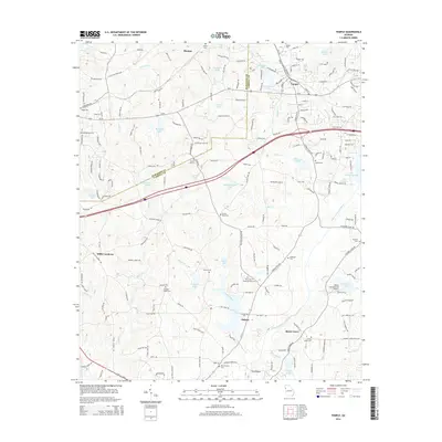
2014 Map of Temple
USGS Topo · Published 2014About this map
Temple stands as a focal point along the Us-78 corridor and the border between Haralson and Carroll counties. This landscape is characterized by a dense network of small lakes and family-named water bodies, such as Easterwood Lake, Hamilton Lake, and Fullilove Lake, reflecting a pattern of localized water management and land ownership. The area maintains its rural character through established community centers like Morgan, Abilene, and Shady Grove.
Find a feature on this map
189 named features on this map. Tap any name to fly to it.
Don’t see what you’re looking for? This feature index may not catch every label — zoom into the map to look around manually.
Map Details
Editions of this 2014 Temple Map
This is the sole edition of this map. No revisions or reprints were ever made.
Other maps of this area

1889 · Tallapoosa
USGS Topo · 1:125,000

1891 · Marietta
USGS Topo · 1:125,000

1892 · Tallapoosa
USGS Topo · 1:125,000

1895 · Marietta
USGS Topo · 1:125,000

1897 · Marietta
USGS Topo · 1:125,000

1897 · Tallapoosa
USGS Topo · 1:125,000

1901 · Marietta
USGS Topo · 1:125,000

1953 · Atlanta
USGS Topo · 1:250,000

1957 · Atlanta
USGS Topo · 1:250,000

1958 · Atlanta
USGS Topo · 1:250,000