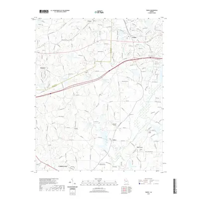
2020 Map of Temple
USGS Topo · Published 2020About this map
The Little Tallapoosa River and its numerous tributaries, including Sharpe Cr and Buck Cr, define the drainage of this Georgia landscape as it appeared in 2020. The map centers on the community of Temple and stretches south toward the northern edge of Carrollton, while Bremen occupies the western margin. This area is characterized by a dense network of country roads and local landmarks that speak to its deep-rooted social fabric.
Find a feature on this map
181 named features on this map. Tap any name to fly to it.
Don’t see what you’re looking for? This feature index may not catch every label — zoom into the map to look around manually.
Map Details
Editions of this 2020 Temple Map
This is the sole edition of this map. No revisions or reprints were ever made.
Other maps of this area

1889 · Tallapoosa
USGS Topo · 1:125,000

1891 · Marietta
USGS Topo · 1:125,000
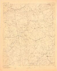
1892 · Tallapoosa
USGS Topo · 1:125,000

1895 · Marietta
USGS Topo · 1:125,000

1897 · Marietta
USGS Topo · 1:125,000
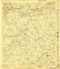
1897 · Tallapoosa
USGS Topo · 1:125,000

1901 · Marietta
USGS Topo · 1:125,000

1953 · Atlanta
USGS Topo · 1:250,000

1957 · Atlanta
USGS Topo · 1:250,000

1958 · Atlanta
USGS Topo · 1:250,000