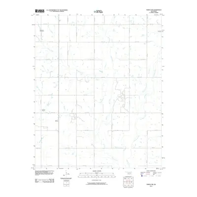
2010 Map of Temple NW
USGS Topo · Published 2010About this map
Walters Oil Field occupies a central role in this landscape of southwestern Oklahoma, highlighting the industrial heritage of Stephens County. The terrain is defined by the drainage basins of Beaver Creek, Little Beaver Creek, and Gooden Creek, which create a complex network of waterways across the plains. These creeks are punctuated by water management features such as the Oknoname 031030 Dam in the northwest. Local history and genealogy are anchored by the Shakelford Cemetery and Comanche Cemetery, which sit alongside a rigid grid of section-line roads like Co RD e1740 and Co RD n2660. This road system reflects the traditional agricultural division of the land, providing a clear view of how rural infrastructure has persisted into the 21st century.
Find a feature on this map
27 named features on this map. Tap any name to fly to it.
Don’t see what you’re looking for? This feature index may not catch every label — zoom into the map to look around manually.
Map Details
Editions of this 2010 Temple NW Map
This is the sole edition of this map. No revisions or reprints were ever made.
Other maps of this area

1946 · Lawton
USGS Topo · 1:62,500

1949 · Nellie
USGS Topo · 1:62,500

1955 · Lawton
USGS Topo · 1:250,000

1956 · Ninemile Creek
USGS Topo · 1:24,000

1956 · Letitia
USGS Topo · 1:24,000

1956 · Nellie
USGS Topo · 1:24,000

1956 · Lawton
USGS Topo · 1:62,500

1956 · Nellie
USGS Topo · 1:62,500

1962 · Walters
USGS Topo · 1:62,500

1962 · Temple
USGS Topo · 1:62,500