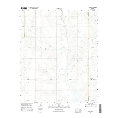
2016 Map of Temple NW
USGS Topo · Published 2016About this map
Empire City sits near the eastern edge of this Oklahoma survey, situated at the junction of Oliver Rd and the county boundary. The landscape is defined by the drainage basins of Beaver Cr and its tributaries, Little Beaver Cr and Gooden Cr, which carve a network of draws across the terrain. This map serves as a detailed record of the borderlands where Stephens, Cotton, and Comanche counties meet, showing a strictly organized section-line road grid that overlays the natural topography. For those tracing family histories or early land use, the presence of Comanche Cem in the northeast and Shakelford Cem to the west provides critical geographic anchors. Industrial remnants or markers are also present, indicated by labels such as Refinery Rd, hinting at the local petroleum and refining infrastructure that shaped this region's development.
Find a feature on this map
33 named features on this map. Tap any name to fly to it.
Don’t see what you’re looking for? This feature index may not catch every label — zoom into the map to look around manually.
Map Details
Editions of this 2016 Temple NW Map
This is the sole edition of this map. No revisions or reprints were ever made.
Other maps of this area

1946 · Lawton
USGS Topo · 1:62,500

1949 · Nellie
USGS Topo · 1:62,500

1955 · Lawton
USGS Topo · 1:250,000

1956 · Ninemile Creek
USGS Topo · 1:24,000

1956 · Letitia
USGS Topo · 1:24,000

1956 · Nellie
USGS Topo · 1:24,000

1956 · Lawton
USGS Topo · 1:62,500

1956 · Nellie
USGS Topo · 1:62,500

1962 · Walters
USGS Topo · 1:62,500

1962 · Temple
USGS Topo · 1:62,500