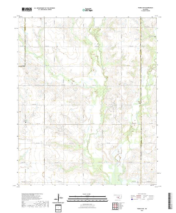
2022 Map of Temple NW
USGS Topo · Published 2022About this map
Empire City and the surrounding ranchland of southern Oklahoma define this portion of the Red River valley, where the landscape is marked by the winding courses of Beaver Cr and Little Beaver Cr. The map captures a section of the county line between Cotton and Stephens counties, revealing a grid of rural section roads such as Refinery Rd and Dr Pepper Rd that connect isolated homesteads and agricultural operations. For genealogists, the inclusion of local burial grounds like Comanche Cem and Shakelford Cem provides specific points for family history research. The terrain is further shaped by seasonal drainages like Gooden Cr, illustrating the typical drainage patterns of the Great Plains as they intersect with the established Public Land Survey System boundaries of t1s r10w, t1s r9w, t2s r10w, and t2s r9w.
Find a feature on this map
27 named features on this map. Tap any name to fly to it.
Don’t see what you’re looking for? This feature index may not catch every label — zoom into the map to look around manually.
Map Details
Editions of this 2022 Temple NW Map
This is the sole edition of this map. No revisions or reprints were ever made.
Other maps of this area

1946 · Lawton
USGS Topo · 1:62,500

1949 · Nellie
USGS Topo · 1:62,500

1955 · Lawton
USGS Topo · 1:250,000

1956 · Ninemile Creek
USGS Topo · 1:24,000

1956 · Letitia
USGS Topo · 1:24,000

1956 · Nellie
USGS Topo · 1:24,000

1956 · Lawton
USGS Topo · 1:62,500

1956 · Nellie
USGS Topo · 1:62,500

1962 · Walters
USGS Topo · 1:62,500

1962 · Temple
USGS Topo · 1:62,500