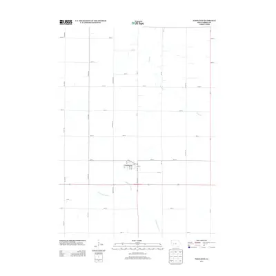
2013 Map of Templeton
USGS Topo · Published 2013About this map
Templeton stands as the primary community in this section of Carroll County, Iowa, centered around a compact street grid that includes Main St and Railway St. The town's layout reflects a classic midwestern settlement pattern, positioned near the intersection of Co Hwy N18 and Iowa Highway 141. The surrounding landscape is defined by the agricultural drainage of the E Nishnabotna River, which meanders through the southern portion of the quadrangle. Further north, the terrain is shaped by the headwaters of Brushy Cr. This 2013 survey illustrates the intersection of rural transit and hydrology, where long-established section roads like Granite Ave and 280th St divide the rolling farmland surrounding this quiet Iowa rail town.
Find a feature on this map
34 named features on this map. Tap any name to fly to it.
Don’t see what you’re looking for? This feature index may not catch every label — zoom into the map to look around manually.
Map Details
Editions of this 2013 Templeton Map
This is the sole edition of this map. No revisions or reprints were ever made.
Other maps of this area

1954 · Omaha
USGS Topo · 1:250,000

1954 · Fort Dodge
USGS Topo · 1:250,000

1957 · Omaha
USGS Topo · 1:250,000

1957 · Fort Dodge
USGS Topo · 1:250,000

1958 · Omaha
USGS Topo · 1:250,000

1958 · Fort Dodge
USGS Topo · 1:250,000

1971 · Viola Center
USGS Topo · 1:24,000

1971 · Dedham
USGS Topo · 1:24,000

1971 · Templeton
USGS Topo · 1:24,000

1971 · Gray
USGS Topo · 1:24,000