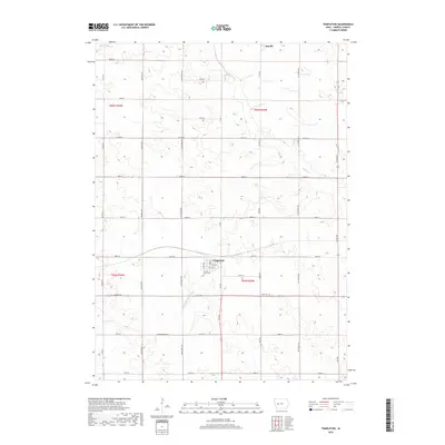
2018 Map of Templeton
USGS Topo · Published 2018About this map
Templeton serves as the primary hub of activity in this Carroll County landscape, situated where Co Rd E57 meets Ivy Ave. The town is anchored by local institutions such as the Sacred Heart Cem and a central Po. To the north, the small settlement of Roselle sits near the headwaters of Brushy Cr, illustrating the typical rural Iowa pattern of small, spaced-out communities connected by an orderly grid of section-line roads like Kittyhawk Ave and Granite Ave. The terrain is defined by the gentle drainage of the E Nishnabotna River, which cuts through the southwestern corner of the quadrangle. This 2018 survey provides a modern snapshot of a long-established agricultural corridor, capturing the proximity of family burial sites such as Elba Cem to the winding creek beds and township boundaries.
Find a feature on this map
36 named features on this map. Tap any name to fly to it.
Don’t see what you’re looking for? This feature index may not catch every label — zoom into the map to look around manually.
Map Details
Editions of this 2018 Templeton Map
This is the sole edition of this map. No revisions or reprints were ever made.
Other maps of this area

1954 · Omaha
USGS Topo · 1:250,000

1954 · Fort Dodge
USGS Topo · 1:250,000

1957 · Omaha
USGS Topo · 1:250,000

1957 · Fort Dodge
USGS Topo · 1:250,000

1958 · Omaha
USGS Topo · 1:250,000

1958 · Fort Dodge
USGS Topo · 1:250,000

1971 · Viola Center
USGS Topo · 1:24,000

1971 · Dedham
USGS Topo · 1:24,000

1971 · Templeton
USGS Topo · 1:24,000

1971 · Gray
USGS Topo · 1:24,000